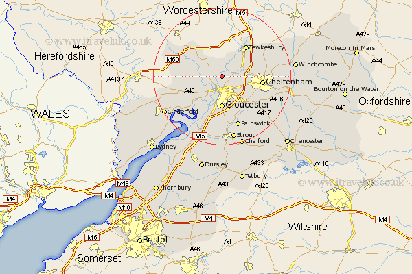
Gloucestershire Map Showing Location of Sandhurst
Population: 471
District: Tewkesbury
Easting: 382807 Northing: 224319
Latitude: 51.92 Longitude: -2.25
 = Sandhurst
District: Tewkesbury
Easting: 382807 Northing: 224319
Latitude: 51.92 Longitude: -2.25
= Sandhurst
This Sandhurst map below is supplied by Google. Use the tools in the top left corner to zoom into street level or zoom out for a road map, you may also need to zoom in to see Sandhurst on the map. Click and drag the map to move around. If the map fails to load try and refresh your browser or zoom in or out (+ or -).
Update - it seems Google no longer allow people to use their maps for free! This Sandhurst map sometimes loads and sometimes gives a error. I am working on a solution.
Closest 30 Towns or Cities to Sandhurst (Population over 500)
Ashleworth 2.17km Hartpury 3.43km Corse 3.89km Innsworth 5.06km Staverton 5.71km Deerhurst 6.53km Churchdown 6.82km Tibberton 7.11km Hucclecote 8.72km Gloucester 9.27km Brockworth 9.37km Redmarley D'Abitot 10.09km Swindon 10.45km Newent 10.45km Shurdington 10.71km Quedgeley 11.35km Tewkesbury 11.52km Cheltenham 11.58km Hardwicke 11.64km Huntley 11.7km Leckhampton 12.72km Ashchurch 13.01km Bishops Cleeve 13.1km Charlton Kings 13.75km Southam 13.84km Dymock 14.58km Longhope 14.81km Painswick 15.52km Randwick 16.68km Mitcheldean 16.95km