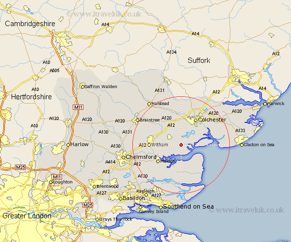
Essex Map Showing Location of Salcott
Population: 221
District: Colchester
Easting: 594261 Northing: 213207
Latitude: 51.78 Longitude: 0.82
 = Salcott
District: Colchester
Easting: 594261 Northing: 213207
Latitude: 51.78 Longitude: 0.82
= Salcott
This Salcott map below is supplied by Google. Use the tools in the top left corner to zoom into street level or zoom out for a road map, you may also need to zoom in to see Salcott on the map. Click and drag the map to move around. If the map fails to load try and refresh your browser or zoom in or out (+ or -).
Update - it seems Google no longer allow people to use their maps for free! This Salcott map sometimes loads and sometimes gives a error. I am working on a solution.
Closest 30 Towns or Cities to Salcott (Population over 500)
Tolleshunt D'Arcy 2.18km Tolleshunt Knights 2.29km Tollesbury 3.88km Tolleshunt Major 5.06km Birch 5.56km Layer de la Haye 6.01km West Mersea 6.02km Tiptree 6.02km Peldon 6.83km Goldhanger 7.21km Copford 7.5km Totham 8.24km Great Totham 8.24km Marks Tey 9.55km Fingringhoe 9.76km Kelvedon 9.76km Feering 10.11km Wickham Bishops 10.32km Heybridge 10.73km Rivenhall 11.72km Rowhedge 11.79km Maldon 11.79km Malden 11.79km Tillingham 12.03km Colchester 12.51km Witham 12.61km Wivenhoe 12.7km Wyvenhoe 12.7km Winehoe 12.7km Coggeshall 13.04km