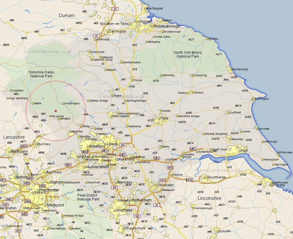
Yorkshire Map Showing Location of Rilstone
Population: 122
District: Craven
Easting: 396724 Northing: 457876
Latitude: 54.02 Longitude: -2.05
 = Rilstone
District: Craven
Easting: 396724 Northing: 457876
Latitude: 54.02 Longitude: -2.05
= Rilstone
This Rilstone map below is supplied by Google. Use the tools in the top left corner to zoom into street level or zoom out for a road map, you may also need to zoom in to see Rilstone on the map. Click and drag the map to move around. If the map fails to load try and refresh your browser or zoom in or out (+ or -).
Update - it seems Google no longer allow people to use their maps for free! This Rilstone map sometimes loads and sometimes gives a error. I am working on a solution.
Closest 30 Towns or Cities to Rilstone (Population over 500)
Threshfield 4.3km Gargrave 4.95km Skipton 5.97km Grassington 7.06km Embsay 7.06km Carleton 9.27km Carlton 9.27km Cononley 11.33km Hellifield 11.51km Earby 11.94km Long Preston 13.2km Glusburn 13.38km Addingham 14.31km Giggleswick 14.63km Silsden 15.05km Settle 15.2km Sutton-in-Craven 15.46km Steeton 16.21km Keighley 17.21km Ilkley 18.88km Bewerley 19.92km Dacre 22.08km Burley 22.55km Burley in Wharfedale 22.55km Bradley 22.89km Darley 22.94km Haworth 23.18km Bingley 23.34km Clapham 23.65km Cullingworth 24.31km