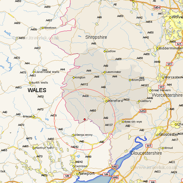
Herefordshire Map Showing Location of Rowlstone
Population: 81
Easting: 336983 Northing: 226532
Latitude: 51.93 Longitude: -2.92
 = Rowlstone
Easting: 336983 Northing: 226532
Latitude: 51.93 Longitude: -2.92
= Rowlstone
This Rowlstone map below is supplied by Google. Use the tools in the top left corner to zoom into street level or zoom out for a road map, you may also need to zoom in to see Rowlstone on the map. Click and drag the map to move around. If the map fails to load try and refresh your browser or zoom in or out (+ or -).
Update - it seems Google no longer allow people to use their maps for free! This Rowlstone map sometimes loads and sometimes gives a error. I am working on a solution.
Closest 30 Towns or Cities to Rowlstone (Population over 500)
Ewyas Harold 2.94km Kingstone 10.89km Peterchurch 11.35km Madley 12.02km Much Dewchurch 12.7km Broad Oak 12.71km Allensmore 13.02km Much Birch 14.2km Bullingham 17.64km Hereford 18.87km Credenhill 20.18km Whitchurch 20.51km Burghill 21.19km Goodrich 21.87km Clifford 22.38km Moreton-on-Lugg 22.38km Moreton on Lugg 22.38km Moreton 22.38km Walford 22.42km Fownhope 22.93km Eardisley 22.96km Mordiford 23.34km Lugwardine 23.52km Ross on Wye 24.07km Ross-on-wye 24.07km Ross 24.07km Sutton 24.47km Almeley 24.52km Wellington 24.99km Weobley 26.18km