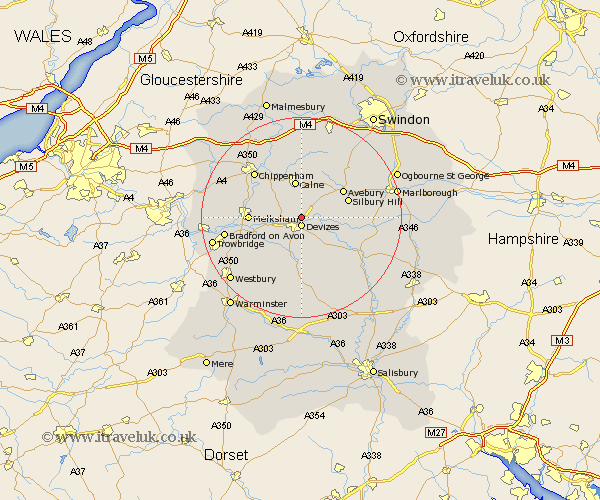
Wiltshire Map Showing Location of Roundway
Population: 2267
District: Kennet
Easting: 401160 Northing: 163126
Latitude: 51.37 Longitude: -1.98
 = Roundway
District: Kennet
Easting: 401160 Northing: 163126
Latitude: 51.37 Longitude: -1.98
= Roundway
This Roundway map below is supplied by Google. Use the tools in the top left corner to zoom into street level or zoom out for a road map, you may also need to zoom in to see Roundway on the map. Click and drag the map to move around. If the map fails to load try and refresh your browser or zoom in or out (+ or -).
Update - it seems Google no longer allow people to use their maps for free! This Roundway map sometimes loads and sometimes gives a error. I am working on a solution.
Closest 30 Towns or Cities to Roundway (Population over 500)
Devizes 1.86km Bishops Cannings 2.31km Rowde 3.94km Cherhill 6.02km Potterne 6.02km Seend 7.19km Calne 7.5km Worton 8.03km Urchfont 8.19km Lavington 9.27km Market Lavington 9.27km Bremhill 9.89km Lacock 9.97km Laycock 9.97km Melksham 10.41km Erlestoke 10.93km Hilmarton 11.18km Hillmarton 11.18km Semington 11.72km Steeple Ashton 12.79km West Lavington 13.03km Chippenham 13.09km Edington 13.76km Broughton Gifford 13.88km Bratton 14.47km Corsham 14.72km Upavon 14.83km Hilperton 14.96km Atworth 15.15km Holt 15.16km