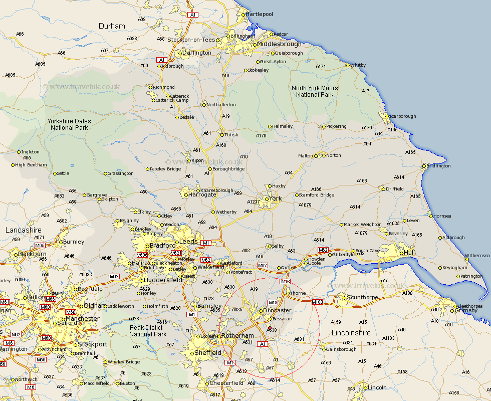
Yorkshire Map Showing Location of Rossington
Population: 13255
District: Doncaster
Easting: 461951 Northing: 397095
Latitude: 53.47 Longitude: -1.07
 = Rossington
District: Doncaster
Easting: 461951 Northing: 397095
Latitude: 53.47 Longitude: -1.07
= Rossington
This Rossington map below is supplied by Google. Use the tools in the top left corner to zoom into street level or zoom out for a road map, you may also need to zoom in to see Rossington on the map. Click and drag the map to move around. If the map fails to load try and refresh your browser or zoom in or out (+ or -).
Update - it seems Google no longer allow people to use their maps for free! This Rossington map sometimes loads and sometimes gives a error. I am working on a solution.
Closest 30 Towns or Cities to Rossington (Population over 500)
Cantley 3.86km Bessacarr 3.9km Auckley 4.97km Wadsworth 5.52km Wadworth 5.52km Finningley 5.52km Austerfield 5.77km Bawtry 5.99km Tickhill 6.47km Armthorpe 7.49km Fleckney 7.73km Doncaster 8.11km Warmsworth 8.56km Bentley 9.23km Kirk Sandall 9.33km Sprotboro 9.57km Sprotbrough 9.57km Braithwell 9.58km Conisbrough 9.93km Conisborough 9.93km Maltby 10.43km Barnby Dun 11.12km Barnby Don 11.12km Hatfield 12.41km Mexborough 13.36km Carcroft 13.53km Adwick le Street 13.53km Dinnington 14.2km Anston 14.24km Bramley 14.37km