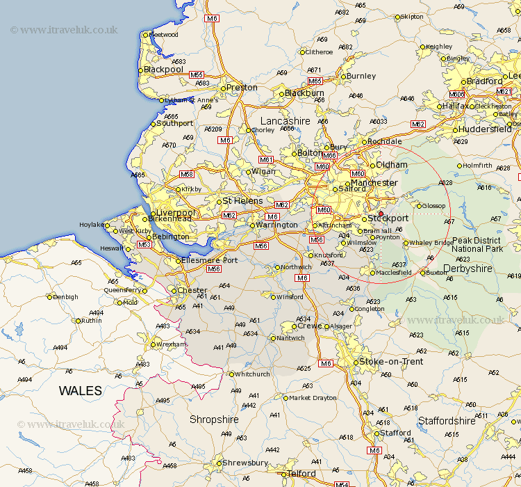
Cheshire Map Showing Location of Romiley
Population: 27525
Area Size (ha): 655
District: Stockport
Easting: 394462 Northing: 391131
Latitude: 53.42 Longitude: -2.08
 = Romiley
Area Size (ha): 655
District: Stockport
Easting: 394462 Northing: 391131
Latitude: 53.42 Longitude: -2.08
= Romiley
This Romiley map below is supplied by Google. Use the tools in the top left corner to zoom into street level or zoom out for a road map, you may also need to zoom in to see Romiley on the map. Click and drag the map to move around. If the map fails to load try and refresh your browser or zoom in or out (+ or -).
Update - it seems Google no longer allow people to use their maps for free! This Romiley map sometimes loads and sometimes gives a error. I am working on a solution.
Closest 30 Towns or Cities to Romiley (Population over 500)
Marple 2.16km Bredbury 2.21km Hyde 3.7km Hazel Grove 4.32km Stockport 4.79km Disley 5.67km Dukinfield 7.41km Stalybridge 7.49km Poynton 7.74km Longdendale 7.83km Bramhall 7.84km Cheadle 9.03km Adlington 11.6km Bollington 12.98km Wilmslow 13.6km Sale 14.36km Rainow 14.87km Prestbury 15.48km Prestburg 15.48km Alderley Edge 16.35km Nether Alderley 17.87km Alderley 17.87km Altrincham 18.07km Macclesfield 18.67km Mobberley 19.06km Bowdon 19.59km Chelford 20.65km Partington 22.09km Knutsford 22.85km Gawsworth 22.92km