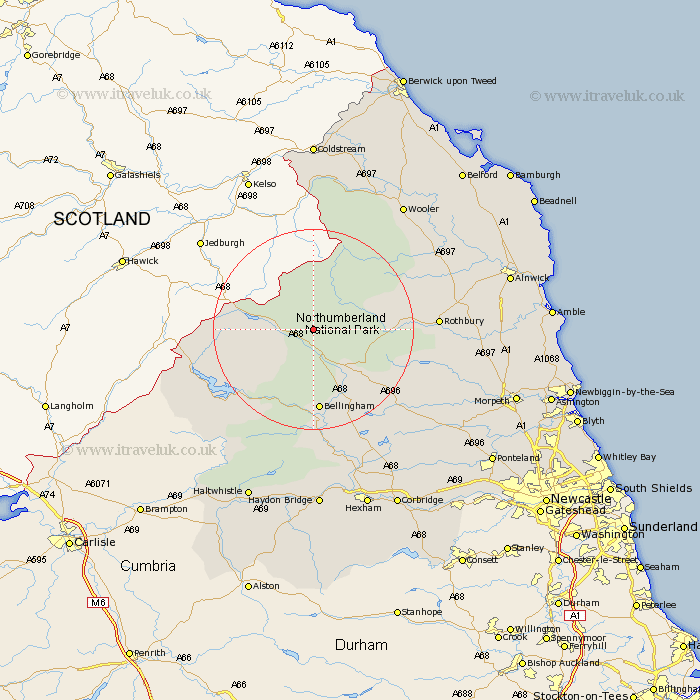
Northumberland Map Showing Location of Rochester
Population: 358
District: Tynedale
Easting: 384128 Northing: 600687
Latitude: 55.3 Longitude: -2.25
 = Rochester
District: Tynedale
Easting: 384128 Northing: 600687
Latitude: 55.3 Longitude: -2.25
= Rochester
This Rochester map below is supplied by Google. Use the tools in the top left corner to zoom into street level or zoom out for a road map, you may also need to zoom in to see Rochester on the map. Click and drag the map to move around. If the map fails to load try and refresh your browser or zoom in or out (+ or -).
Update - it seems Google no longer allow people to use their maps for free! This Rochester map sometimes loads and sometimes gives a error. I am working on a solution.
Closest 30 Towns or Cities to Rochester (Population over 500)
Otterburn 10.66km Bellingham 16.71km Rothbury 22.23km Wark 26.03km Longframlington 29.61km Wooler 30.37km Humshaugh 30.57km Challerton 31.15km Chollerton 31.15km Longhorsley 31.51km Swarland 32.71km Newbrough 33.63km Felton 34.87km East Thirston 35.93km Thirston 35.93km Warden 35.99km Acomb 36.48km Alnwick 36.51km Almwick 36.51km Shilbottle 36.6km Haydon Bridge 37.08km Haltwhistle 37.09km Sandhoe 37.44km Hebron 38.2km Hexham 38.27km Stamfordham 38.37km Morpeth 38.87km Corbridge 39.92km Warkworth 40.45km Lisburg 41.11km