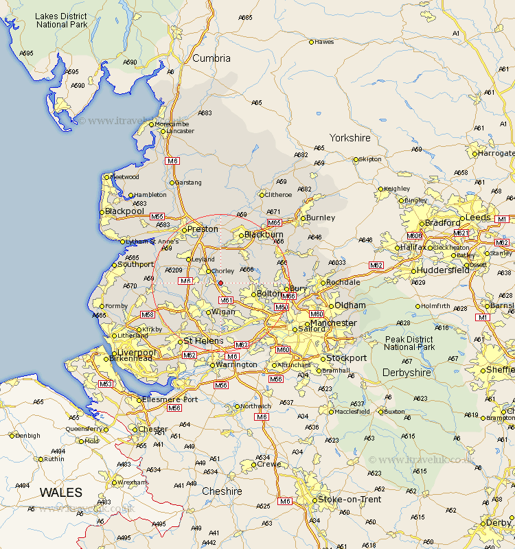
Lancashire Map Showing Location of Rivington
Population: 144
District: Chorley
Easting: 362518 Northing: 413525
Latitude: 53.62 Longitude: -2.57
 = Rivington
District: Chorley
Easting: 362518 Northing: 413525
Latitude: 53.62 Longitude: -2.57
= Rivington
This Rivington map below is supplied by Google. Use the tools in the top left corner to zoom into street level or zoom out for a road map, you may also need to zoom in to see Rivington on the map. Click and drag the map to move around. If the map fails to load try and refresh your browser or zoom in or out (+ or -).
Update - it seems Google no longer allow people to use their maps for free! This Rivington map sometimes loads and sometimes gives a error. I am working on a solution.
Closest 30 Towns or Cities to Rivington (Population over 500)
Haigh 2.16km Horwich 2.16km Adlington 2.88km Blackrod 3.87km Chorley 4.96km Coppull 5.5km Heapey 6.46km Brinscall 7.41km Euxton 7.56km Standish 7.57km Westhoughton 8.12km Withnell 9.33km Hindley 9.34km Shevington 9.5km Bolton 9.55km Ince 9.84km Wigan 9.84km Ince-in-Makerfield 9.84km Eccleston 10.06km Turton 11.14km Bradshaw 11.15km Bromley Cross 11.15km Abram 11.17km Hoghton 11.17km Appley Bridge 11.35km Darwen 11.37km Leyland 11.49km Penrith 11.6km Atherton 11.96km Tyldesley 12.93km