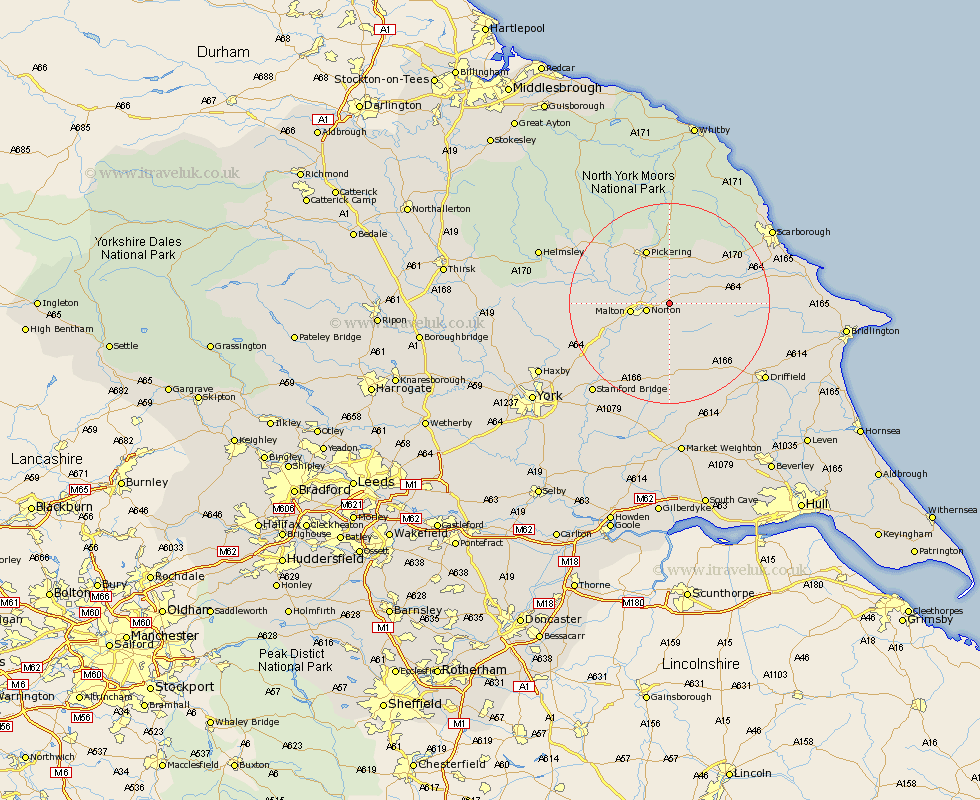
Yorkshire Map Showing Location of Rillington
Population: 1074
District: Ryedale
Easting: 484897 Northing: 473486
Latitude: 54.15 Longitude: -0.7
 = Rillington
District: Ryedale
Easting: 484897 Northing: 473486
Latitude: 54.15 Longitude: -0.7
= Rillington
This Rillington map below is supplied by Google. Use the tools in the top left corner to zoom into street level or zoom out for a road map, you may also need to zoom in to see Rillington on the map. Click and drag the map to move around. If the map fails to load try and refresh your browser or zoom in or out (+ or -).
Update - it seems Google no longer allow people to use their maps for free! This Rillington map sometimes loads and sometimes gives a error. I am working on a solution.
Closest 30 Towns or Cities to Rillington (Population over 500)
Norton 4.59km Malton 7.4km Yedingham 7.77km Thornton-le-Dale 9.33km Thornton Dale 9.33km Snainton 10.61km Pickering 11.93km Sherburn 12.08km Brompton 12.26km Slingsby 14.11km Willerby 16.69km Terrington 17.76km Great Driffield 18.24km Wetwang 18.81km Seamer 19.67km Kirby Moorside 19.97km Kirkby Moorside 19.97km Nawton 20.63km Sheriff Hutton 20.91km Eastfield 21.6km Fangfoss 22.16km Scalby 22.81km Stamford Bridge 23.31km Cayton 23.58km Driffield 23.59km Scarborough 24.04km Pocklington 24.32km Kilham 24.41km Strensall 24.41km North Frodingham 24.81km