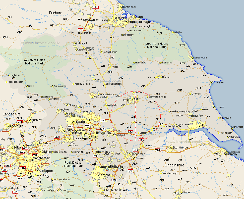
Yorkshire Map Showing Location of Riccall
Population: 1917
Area Size (ha): 47
District: Selby
Easting: 462513 Northing: 437890
Latitude: 53.83 Longitude: -1.05
 = Riccall
Area Size (ha): 47
District: Selby
Easting: 462513 Northing: 437890
Latitude: 53.83 Longitude: -1.05
= Riccall
This Riccall map below is supplied by Google. Use the tools in the top left corner to zoom into street level or zoom out for a road map, you may also need to zoom in to see Riccall on the map. Click and drag the map to move around. If the map fails to load try and refresh your browser or zoom in or out (+ or -).
Update - it seems Google no longer allow people to use their maps for free! This Riccall map sometimes loads and sometimes gives a error. I am working on a solution.
Closest 30 Towns or Cities to Riccall (Population over 500)
Wistow 3.77km Cawood 4.37km Escrick 5.56km Selby 5.67km Brayton 7.72km Wheldrake 7.8km Acaster Malbis 8.11km Hemingbrough 8.6km Cliffe Common 8.6km Cliff Common Station 8.6km Bubwith 8.94km Barlow 9.52km Hambleton 10.66km Copmanthorpe 10.76km Ulleskelf 11.09km Church Fenton 11.09km Bishopthorpe 11.59km Bishopthorne 11.59km Sutton 12.74km Sutton upon Derwent 12.74km Heslington 13.02km Sherburn 13.64km Sherburn in Elmet 13.64km Melbourne 14.25km Carlton 14.98km York 14.99km South Milford 15.08km Hensall 15.18km Clifton 15.19km Monk Fryston 15.19km