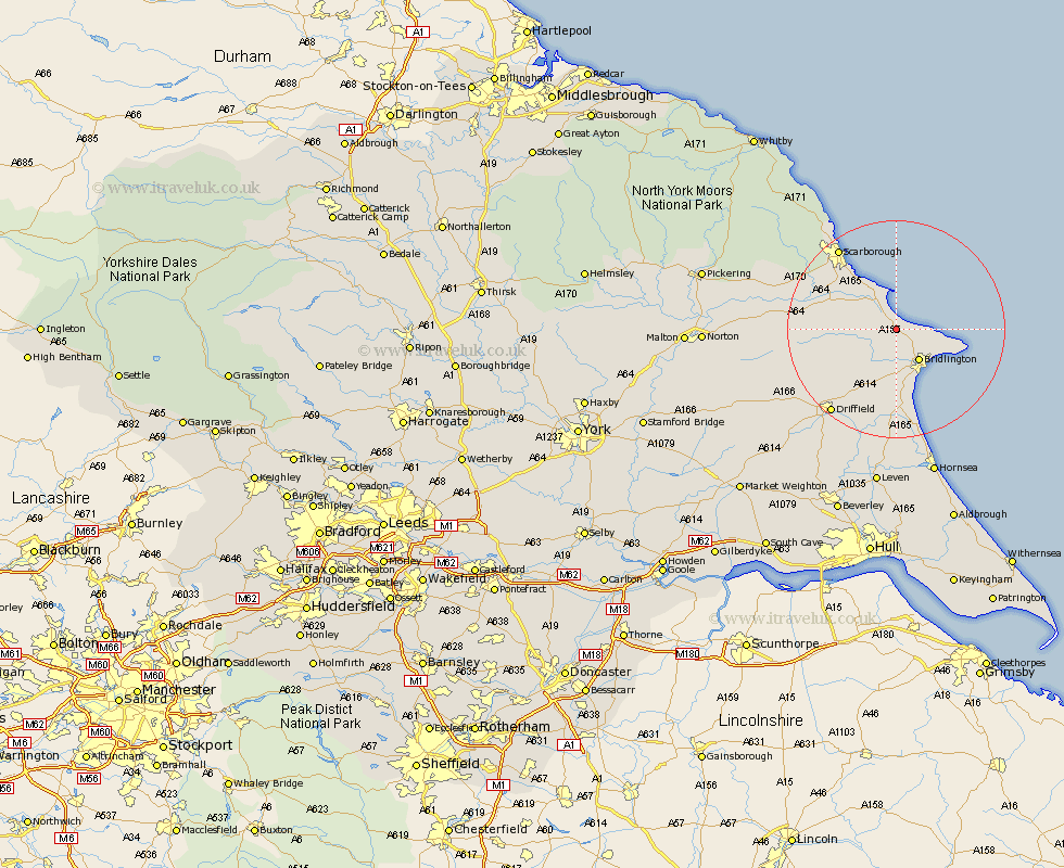
Yorkshire Map Showing Location of Reighton
Population: 387
District: Scarborough
Easting: 513193 Northing: 474093
Latitude: 54.15 Longitude: -0.27
 = Reighton
District: Scarborough
Easting: 513193 Northing: 474093
Latitude: 54.15 Longitude: -0.27
= Reighton
This Reighton map below is supplied by Google. Use the tools in the top left corner to zoom into street level or zoom out for a road map, you may also need to zoom in to see Reighton on the map. Click and drag the map to move around. If the map fails to load try and refresh your browser or zoom in or out (+ or -).
Update - it seems Google no longer allow people to use their maps for free! This Reighton map sometimes loads and sometimes gives a error. I am working on a solution.
Closest 30 Towns or Cities to Reighton (Population over 500)
Hunmanby 3.75km Bempton 6.77km Filey 6.83km Bridlington 7.21km Flamborough 11.25km Cayton 11.32km Great Driffield 12.2km Willerby 12.49km Eastfield 12.69km Kilham 12.89km Seamer 14.26km Sherburn 16.38km Nafferton 16.66km Scarborough 18.02km Scalby 18.36km Driffield 19.29km Brompton 19.87km Beeford 20.38km Skipsea 20.64km Burniston 21.47km Snainton 21.9km Dunnington 22.27km Cloughton 23.08km Yedingham 23.45km Cranswick 24.76km North Frodingham 24.81km Wetwang 25.71km Brandesburton 26.03km Brandsburton 26.03km Rillington 28.22km