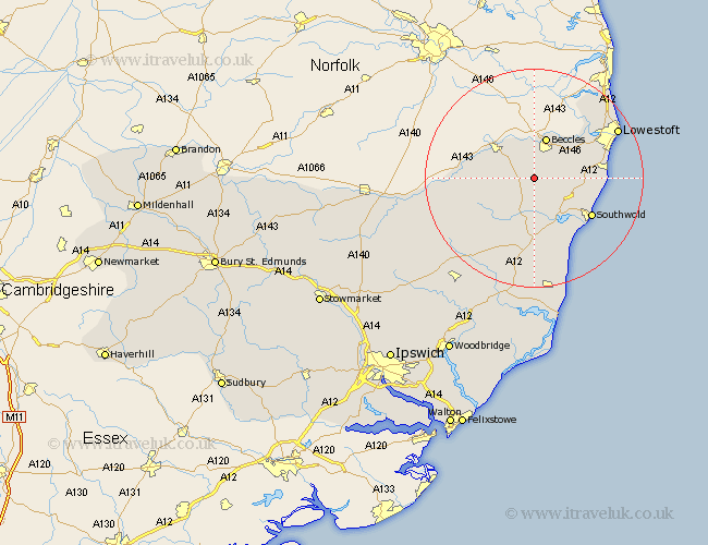
Suffolk Map Showing Location of Redisham
Population: 114
District: Waveney
Easting: 640335 Northing: 283915
Latitude: 52.4 Longitude: 1.53
 = Redisham
District: Waveney
Easting: 640335 Northing: 283915
Latitude: 52.4 Longitude: 1.53
= Redisham
This Redisham map below is supplied by Google. Use the tools in the top left corner to zoom into street level or zoom out for a road map, you may also need to zoom in to see Redisham on the map. Click and drag the map to move around. If the map fails to load try and refresh your browser or zoom in or out (+ or -).
Update - it seems Google no longer allow people to use their maps for free! This Redisham map sometimes loads and sometimes gives a error. I am working on a solution.
Closest 30 Towns or Cities to Redisham (Population over 500)
Halesworth 6km Worlingham 6.51km Holton 7.5km Beccles 7.75km Bungay 7.93km Wangford 7.93km Wenhaston 9.33km Wrentham 10.35km Reydon 10.62km Cookley 10.86km Kessingland 12.57km Carlton Colville 12.59km Southwold 12.6km Gisleham 12.97km Yoxford 14.87km Laxfield 15.87km Oulton 16.42km Fressingfield 16.79km Lowestoft 17.36km Stradbroke 20.34km Corton 20.45km Saxmundham 20.51km Dennington 21.7km Leiston 22.35km Hoxne 23.3km Snape 24.2km Worlingworth 24.3km Framlingham 24.5km Thorpe 26.55km Thorpeness 26.55km