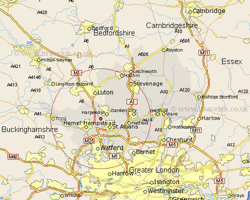
Hertfordshire Map Showing Location of Redbourn
Population: 4738
Area Size (ha): 137
District: St Albans
Easting: 511505 Northing: 210690
Latitude: 51.78 Longitude: -0.38
 = Redbourn
Area Size (ha): 137
District: St Albans
Easting: 511505 Northing: 210690
Latitude: 51.78 Longitude: -0.38
= Redbourn
This Redbourn map below is supplied by Google. Use the tools in the top left corner to zoom into street level or zoom out for a road map, you may also need to zoom in to see Redbourn on the map. Click and drag the map to move around. If the map fails to load try and refresh your browser or zoom in or out (+ or -).
Update - it seems Google no longer allow people to use their maps for free! This Redbourn map sometimes loads and sometimes gives a error. I am working on a solution.
Closest 30 Towns or Cities to Redbourn (Population over 500)
Harpenden 2.95km Saint Albans 5.06km St Albans 5.06km St. Albans 5.06km Flamstead 5.06km Sandridge 6.02km Hemel Hempstead 6.83km Wheathampstead 7.12km Markyatestreet 7.2km Markyate 7.2km Great Gaddesden 8.03km Abbots Langley 9.54km London Olney 10.11km London Colney 10.11km Kimpton 10.11km Kings Langley 10.34km Colney Heath 10.73km Hatfield 10.94km Chipperfield 11.54km Little Gaddesden 11.61km North Mymms 11.79km Radlett 12.03km Berkhampstead 12.05km Berkhamsted 12.05km Codicote 12.7km Bovingdon 12.71km Welwyn 12.74km Welwyn Garden City 12.75km Garden City 12.75km Watford 13.02km