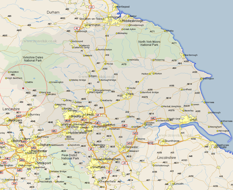
Yorkshire Map Showing Location of Rathmell
Population: 269
District: Craven
Easting: 380344 Northing: 457917
Latitude: 54.02 Longitude: -2.3
 = Rathmell
District: Craven
Easting: 380344 Northing: 457917
Latitude: 54.02 Longitude: -2.3
= Rathmell
This Rathmell map below is supplied by Google. Use the tools in the top left corner to zoom into street level or zoom out for a road map, you may also need to zoom in to see Rathmell on the map. Click and drag the map to move around. If the map fails to load try and refresh your browser or zoom in or out (+ or -).
Update - it seems Google no longer allow people to use their maps for free! This Rathmell map sometimes loads and sometimes gives a error. I am working on a solution.
Closest 30 Towns or Cities to Rathmell (Population over 500)
Long Preston 3.76km Giggleswick 4.3km Settle 5.97km Hellifield 6.59km Clapham 10.74km Gargrave 13.59km Bentham 16.01km High Bentham 16.01km Earby 16.35km Ingleton 18.38km Carlton 18.8km Carleton 18.8km Threshfield 18.87km Skipton 19.34km Burton in Lonsdale 20km Grassington 21.41km Embsay 21.44km Cononley 21.61km Glusburn 23.53km Sutton-in-Craven 25.48km Silsden 27.27km Steeton 27.29km Addingham 28.78km Keighley 29.14km Bradley 31.09km Haworth 31.94km Hawes 32.17km Cornholme 33.01km Oxenhope 33.26km Ilkley 33.51km