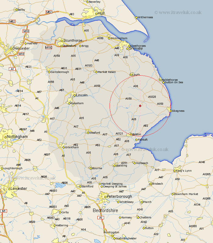
Lincolnshire Map Showing Location of Raithby
Population: 134
District: East Lindsey
Easting: 538138 Northing: 365313
Latitude: 53.17 Longitude: 0.07
 = Raithby
District: East Lindsey
Easting: 538138 Northing: 365313
Latitude: 53.17 Longitude: 0.07
= Raithby
This Raithby map below is supplied by Google. Use the tools in the top left corner to zoom into street level or zoom out for a road map, you may also need to zoom in to see Raithby on the map. Click and drag the map to move around. If the map fails to load try and refresh your browser or zoom in or out (+ or -).
Update - it seems Google no longer allow people to use their maps for free! This Raithby map sometimes loads and sometimes gives a error. I am working on a solution.
Closest 30 Towns or Cities to Raithby (Population over 500)
Spilsby 2.89km Mareham 9.08km Mareham on the Hill 9.08km Mareham-on-the-Hill 9.08km Stickney 9.86km Willoughby 10.48km Alford 12.09km Carrington 12.11km Burgh le Marsh 12.36km Horncastle 12.77km Banovallum 12.77km Croft 12.78km Friskney 13.57km Wainfleet All Saints 14.3km Wainfleet 14.3km Wrangle 15.2km Sibsey 15.21km Huttoft 16.22km Frithville 16.27km Coningsby 16.53km Leake 16.83km Old Leake 16.83km Chapel Saint Leonards 17.56km Chapel St. Leonards 17.56km Chapel St Leonards 17.56km Ingoldmells 17.87km Legbourne 18.56km Leverton 18.57km Woodhall Spa 18.98km Skegness 19.26km