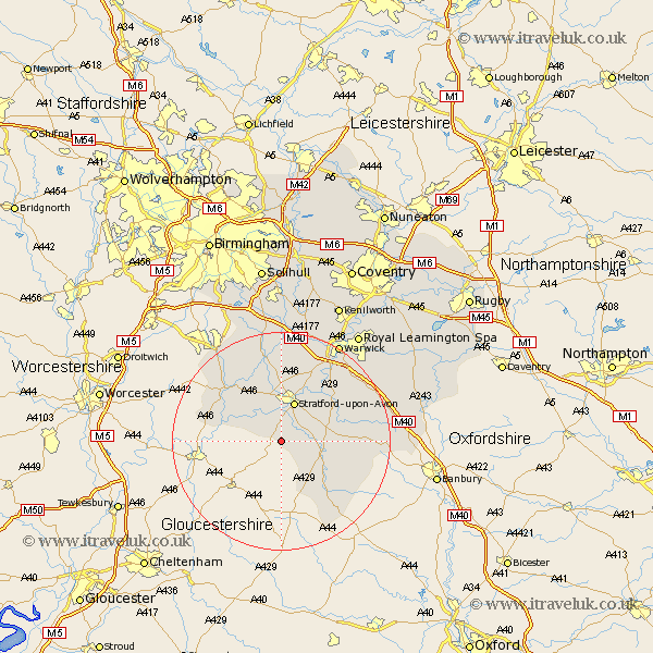
Warwickshire Map Showing Location of Quinton
Population: 1477
Area Size (ha): 32
District: Stratford-on-Avon
Easting: 418257 Northing: 246565
Latitude: 52.12 Longitude: -1.73
 = Quinton
Area Size (ha): 32
District: Stratford-on-Avon
Easting: 418257 Northing: 246565
Latitude: 52.12 Longitude: -1.73
= Quinton
This Quinton map below is supplied by Google. Use the tools in the top left corner to zoom into street level or zoom out for a road map, you may also need to zoom in to see Quinton on the map. Click and drag the map to move around. If the map fails to load try and refresh your browser or zoom in or out (+ or -).
Update - it seems Google no longer allow people to use their maps for free! This Quinton map sometimes loads and sometimes gives a error. I am working on a solution.
Closest 30 Towns or Cities to Quinton (Population over 500)
Ilmington 5.05km Stratford on Avon 7.75km Stratford-upon-Avon 7.75km Stratford-on-Avon 7.75km Stratford 7.75km Stratford upon Avon 7.75km Ettington 9.29km Eatington 9.29km Salford Priors 10.89km Shipston-on-Stour 10.89km Shipston on Stour 10.89km Great Alne 12.49km Wellesbourne 12.63km Wellesbourne Hastings 12.63km Bearley 12.97km Snitterfield 12.97km Aston Cantlow 13.74km Alcester 14.36km Wootton Wawen 15km Barford 15.84km Kineton 16.35km Middle Tysoe 16.37km Church Tysoe 16.37km Tysoe 16.37km Brailes 16.52km Lower Brailes 16.52km Claverdon 16.83km Lighthorne 17.56km Long Compton 18.03km Henley in Arden 18.66km