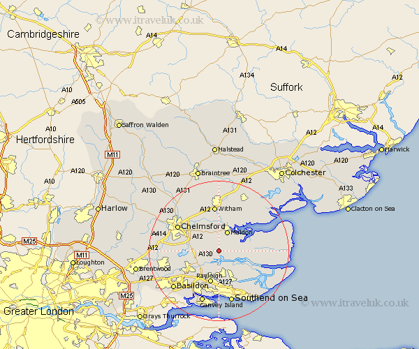
Essex Map Showing Location of Purleigh
Population: 1147
District: Maldon
Easting: 583239 Northing: 199812
Latitude: 51.67 Longitude: 0.65
 = Purleigh
District: Maldon
Easting: 583239 Northing: 199812
Latitude: 51.67 Longitude: 0.65
= Purleigh
This Purleigh map below is supplied by Google. Use the tools in the top left corner to zoom into street level or zoom out for a road map, you may also need to zoom in to see Purleigh on the map. Click and drag the map to move around. If the map fails to load try and refresh your browser or zoom in or out (+ or -).
Update - it seems Google no longer allow people to use their maps for free! This Purleigh map sometimes loads and sometimes gives a error. I am working on a solution.
Closest 30 Towns or Cities to Purleigh (Population over 500)
Cold Norton 1.15km Woodham Mortimer 3.88km Woodham Ferrers 3.92km Fambridge 4.37km North Fambridge 4.37km Bickacre 4.95km Bicknacre 4.95km Latchingdon 5.75km Snoreham 5.75km Latchingdon and Snoreham 5.75km Malden 6.02km Maldon 6.02km Danbury 6.84km East Hanningfield 6.9km Althorne 7.14km Rettendon 7.14km Heybridge 7.75km Hockley 9.27km Hawkwell 9.34km Little Baddow 9.37km Mayland 9.38km Rawreth 9.39km Rayleigh 9.56km South Hanningfield 9.92km Goldhanger 10.12km Canewelon 10.13km Canewdon 10.13km Rochford 10.35km West Hanningfield 10.51km Great Baddow 10.99km