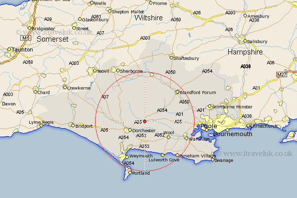
Dorset Map Showing Location of Puddletown
Population: 1177
District: West Dorset
Easting: 375311 Northing: 94610
Latitude: 50.75 Longitude: -2.35
 = Puddletown
District: West Dorset
Easting: 375311 Northing: 94610
Latitude: 50.75 Longitude: -2.35
= Puddletown
This Puddletown map below is supplied by Google. Use the tools in the top left corner to zoom into street level or zoom out for a road map, you may also need to zoom in to see Puddletown on the map. Click and drag the map to move around. If the map fails to load try and refresh your browser or zoom in or out (+ or -).
Update - it seems Google no longer allow people to use their maps for free! This Puddletown map sometimes loads and sometimes gives a error. I am working on a solution.
Closest 30 Towns or Cities to Puddletown (Population over 500)
Milborne 5.04km Milborne St Andrew 5.04km Milborne Saint Andrew 5.04km Milborne St. Andrew 5.04km Puddletrenthide 5.97km Piddletrenthide 5.97km Dorchester 6.94km Milton Abbas 7.27km Charminster 7.28km Broadmayne 7.78km Bovington Camp 8.97km Bere Regis 9.38km Whitechurch 9.91km Cerne Abbas 9.91km Winterborne Kingston 10.71km Upton 11.53km Buckland Newton 11.63km Wool 11.73km Preston 12.07km Winterborne Stickland 12.37km Stickland Winterborne 12.37km Winfrith Newburgh 12.57km Winfrith 12.57km Osmington 13.03km Bincombe 13.16km Overcombe 13.92km Maiden Newton 15.35km West Lulworth 16.41km Lulworth Cove 16.41km Weymouth 17.09km