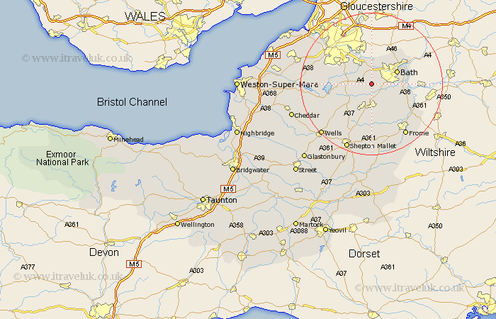
Somerset Map Showing Location of Priston
Population: 252
Easting: 368664 Northing: 161365
Latitude: 51.35 Longitude: -2.45
 = Priston
Easting: 368664 Northing: 161365
Latitude: 51.35 Longitude: -2.45
= Priston
This Priston map below is supplied by Google. Use the tools in the top left corner to zoom into street level or zoom out for a road map, you may also need to zoom in to see Priston on the map. Click and drag the map to move around. If the map fails to load try and refresh your browser or zoom in or out (+ or -).
Update - it seems Google no longer allow people to use their maps for free! This Priston map sometimes loads and sometimes gives a error. I am working on a solution.
Closest 30 Towns or Cities to Priston (Population over 500)
Camerton 3.7km Farmboro 3.94km Farmborough 3.94km Timsbury 4.37km Saltford 5.56km Temple Cloud 5.81km Compton Dando 5.93km Wellow 5.93km Publow 6.08km Clutton 6.08km Keynsham 6.55km Paulton 6.56km Bath 7.87km Kilmersdon 9.33km Kilmersden 9.33km Farrington Gurney 9.41km Whitchurch 9.82km Norton St. Philip 9.83km Norton Saint Philip 9.83km Norton St Philip 9.83km Chilcompton 9.89km Stratton on the Fosse 9.89km Stratton-on-the-Fosse 9.89km Stratton 9.89km Bathampton 9.97km Freshford 10.58km Batheaston 10.8km Chew Magna 11.72km Great Chew 11.72km Bathford 11.8km