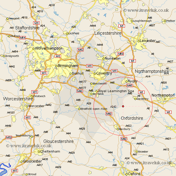
Warwickshire Map Showing Location of Priors Marston
Population: 506
District: Stratford-on-Avon
Easting: 448975 Northing: 256038
Latitude: 52.2 Longitude: -1.28
 = Priors Marston
District: Stratford-on-Avon
Easting: 448975 Northing: 256038
Latitude: 52.2 Longitude: -1.28
= Priors Marston
This Priors Marston map below is supplied by Google. Use the tools in the top left corner to zoom into street level or zoom out for a road map, you may also need to zoom in to see Priors Marston on the map. Click and drag the map to move around. If the map fails to load try and refresh your browser or zoom in or out (+ or -).
Update - it seems Google no longer allow people to use their maps for free! This Priors Marston map sometimes loads and sometimes gives a error. I am working on a solution.
Closest 30 Towns or Cities to Priors Marston (Population over 500)
Napton on the Hill 4.34km Napton-on-the-Hill 4.34km Napton 4.34km Stockton 8.7km Southam 8.79km Fenny Compton 8.8km Long Itchington 10.07km Bishops Itchington 10.22km Harbury 11.94km Dunchurch 14.82km Lighthorne 14.89km Kineton 15.79km Whitnash 16.84km Bishops Tachbrook 17.43km Long Lawford 18.57km Rugby 18.67km Bubbenhall 19.37km Middle Tysoe 19.67km Church Tysoe 19.67km Tysoe 19.67km Wolston 19.75km Brandon 20.16km Leamington 20.33km Royal Leamington Spa 20.33km Leamington Spa 20.33km Wellesbourne 20.53km Wellesbourne Hastings 20.53km Clifton 20.88km Clifton on Dunsmore 20.88km Clifton upon Dunsmore 20.88km