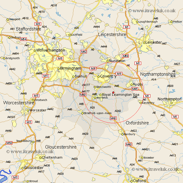
Warwickshire Map Showing Location of Princethorpe
Population: 382
District: Rugby
Easting: 439758 Northing: 268936
Latitude: 52.32 Longitude: -1.42
 = Princethorpe
District: Rugby
Easting: 439758 Northing: 268936
Latitude: 52.32 Longitude: -1.42
= Princethorpe
This Princethorpe map below is supplied by Google. Use the tools in the top left corner to zoom into street level or zoom out for a road map, you may also need to zoom in to see Princethorpe on the map. Click and drag the map to move around. If the map fails to load try and refresh your browser or zoom in or out (+ or -).
Update - it seems Google no longer allow people to use their maps for free! This Princethorpe map sometimes loads and sometimes gives a error. I am working on a solution.
Closest 30 Towns or Cities to Princethorpe (Population over 500)
Bubbenhall 3.87km Brandon 5.67km Wolston 6km Long Itchington 6km Baginton 7.17km Stockton 7.17km Stoneleigh 7.74km Southam 7.76km Leamington 8.15km Royal Leamington Spa 8.15km Leamington Spa 8.15km Dunchurch 9.25km Harbury 9.55km Long Lawford 9.68km Whitnash 10.06km Brinklow 10.31km Napton 11.5km Napton-on-the-Hill 11.5km Napton on the Hill 11.5km Kenilworth 11.91km Warwick 11.93km Bishops Tachbrook 12.21km Rugby 12.61km Bishops Itchington 13.03km Allesley 14.34km Coventry 14.34km Shilton 14.86km Keresley 15.19km Clifton-on-Dunsmore 15.47km Clifton 15.47km