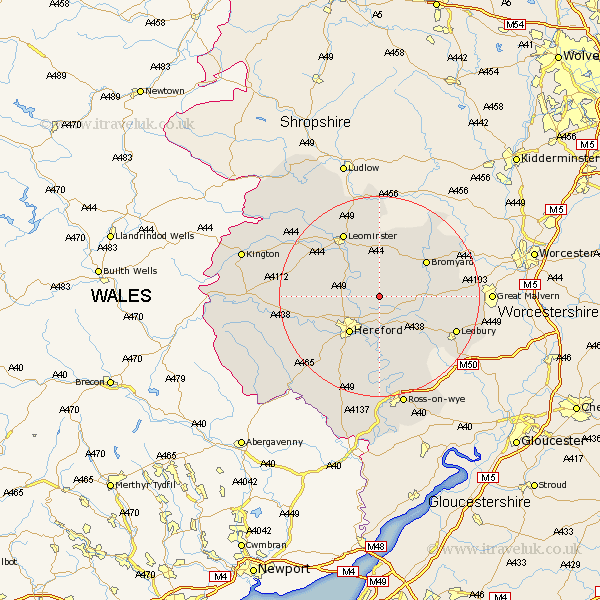
Herefordshire Map Showing Location of Preston Wynne
Population: 133
Easting: 356639 Northing: 246721
Latitude: 52.12 Longitude: -2.63
 = Preston Wynne
Easting: 356639 Northing: 246721
Latitude: 52.12 Longitude: -2.63
= Preston Wynne
This Preston Wynne map below is supplied by Google. Use the tools in the top left corner to zoom into street level or zoom out for a road map, you may also need to zoom in to see Preston Wynne on the map. Click and drag the map to move around. If the map fails to load try and refresh your browser or zoom in or out (+ or -).
Update - it seems Google no longer allow people to use their maps for free! This Preston Wynne map sometimes loads and sometimes gives a error. I am working on a solution.
Closest 30 Towns or Cities to Preston Wynne (Population over 500)
Withington 1.86km Sutton 3.89km Bodenham 5.04km Lugwardine 5.67km Moreton 7.08km Moreton on Lugg 7.08km Moreton-on-Lugg 7.08km Mordiford 7.42km Wellington 8.18km Burghill 9.29km Hereford 9.35km Bullingham 10.88km Credenhill 11.53km Bromyard 11.73km Bosbury 13.06km Fownhope 13.18km Leominster 14.65km Allensmore 15.13km Much Marcle 15.86km Ledbury 16.56km Much Dewchurch 16.84km Weobley 16.87km Madley 17.47km Colwall 17.47km Dilwyn 17.56km Kingstone 17.62km Much Birch 17.63km Luston 18.48km Eardisland 18.49km Kingsland 18.68km