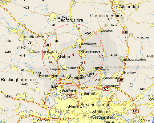
Hertfordshire Map Showing Location of Preston
Population: 481
District: North Hertfordshire
Easting: 518096 Northing: 223824
Latitude: 51.9 Longitude: -0.28
 = Preston
District: North Hertfordshire
Easting: 518096 Northing: 223824
Latitude: 51.9 Longitude: -0.28
= Preston
This Preston map below is supplied by Google. Use the tools in the top left corner to zoom into street level or zoom out for a road map, you may also need to zoom in to see Preston on the map. Click and drag the map to move around. If the map fails to load try and refresh your browser or zoom in or out (+ or -).
Update - it seems Google no longer allow people to use their maps for free! This Preston map sometimes loads and sometimes gives a error. I am working on a solution.
Closest 30 Towns or Cities to Preston (Population over 500)
Great Offley 3.9km Offley 3.9km Stevenage 4.94km Kimpton 5.56km Hitchin 5.68km Great Wymondley 5.89km Wymondley 5.89km Pirton 6.01km Codicote 6.53km Graveley 6.81km Ickleford 7.51km Letchworth 8.71km Welwyn 8.72km Knebworth 8.83km Aston 9.34km Weston 9.74km Walkern 10.46km Datchworth 10.71km Wheathampstead 11.12km Baldock 11.52km Harpenden 12.03km Garden City 12.51km Welwyn Garden City 12.51km Bennington 12.72km Benington 12.72km Tewin 13.02km Harmer Green 13.24km Markyatestreet 13.64km Markyate 13.64km Watton at Stone 13.76km