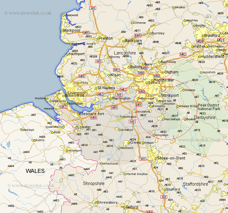
Cheshire Map Showing Location of Pott Shrigley
Population: 220
District: Macclesfield
Easting: 394449 Northing: 380007
Latitude: 53.32 Longitude: -2.08
 = Pott Shrigley
District: Macclesfield
Easting: 394449 Northing: 380007
Latitude: 53.32 Longitude: -2.08
= Pott Shrigley
This Pott Shrigley map below is supplied by Google. Use the tools in the top left corner to zoom into street level or zoom out for a road map, you may also need to zoom in to see Pott Shrigley on the map. Click and drag the map to move around. If the map fails to load try and refresh your browser or zoom in or out (+ or -).
Update - it seems Google no longer allow people to use their maps for free! This Pott Shrigley map sometimes loads and sometimes gives a error. I am working on a solution.
Closest 30 Towns or Cities to Pott Shrigley (Population over 500)
Bollington 1.86km Adlington 3.32km Rainow 3.87km Poynton 4.31km Disley 5.67km Prestburg 5.78km Prestbury 5.78km Hazel Grove 7.73km Macclesfield 7.74km Bramhall 7.84km Marple 9.33km Wilmslow 10.13km Alderley Edge 10.14km Stockport 10.27km Alderley 10.64km Nether Alderley 10.64km Romiley 11.12km Bredbury 11.34km Gawsworth 12.42km Cheadle 12.81km Chelford 13.39km Hyde 14.82km Mobberley 15.5km Longdendale 17.57km Sale 18.17km Dukinfield 18.53km Stalybridge 18.56km Knutsford 18.92km Goostrey 19.03km Altrincham 19.19km