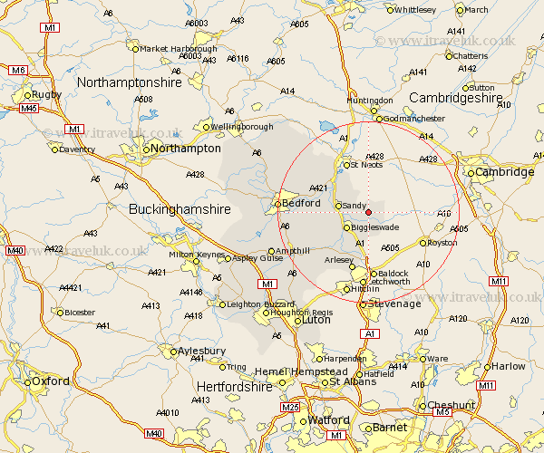
Bedfordshire Map Showing Location of Potton
Population: 4162
Area Size (ha): 91
District: Mid Bedfordshire
Easting: 523232 Northing: 248060
Latitude: 52.12 Longitude: -0.2
 = Potton
Area Size (ha): 91
District: Mid Bedfordshire
Easting: 523232 Northing: 248060
Latitude: 52.12 Longitude: -0.2
= Potton
This Potton map below is supplied by Google. Use the tools in the top left corner to zoom into street level or zoom out for a road map, you may also need to zoom in to see Potton on the map. Click and drag the map to move around. If the map fails to load try and refresh your browser or zoom in or out (+ or -).
Update - it seems Google no longer allow people to use their maps for free! This Potton map sometimes loads and sometimes gives a error. I am working on a solution.
Closest 30 Towns or Cities to Potton (Population over 500)
Everton 2.93km Cockayne Hatley 3.41km Biggleswade 5.88km Sandy 6.53km Tempsford 7.76km Blunham 8.18km Northill 8.18km Langford 8.7km Roxton 8.8km Southill 10.08km Great Barford 10.89km Clifton 11.52km Willington 11.53km Henlow 12.49km Cople 12.52km Shefford 13km Stotfold 13.03km Arlesley 13.42km Arlesey 13.42km Campton and Chicksands 14.69km Stondon 15.23km Meppershall 15.86km Haynes 16.56km Wilhamstead 16.88km Willshamstead 16.88km Wilshamstead 16.88km Wilstead 16.88km Gravenhurst 17.27km Bolnhurst 17.6km Shillington 18.03km