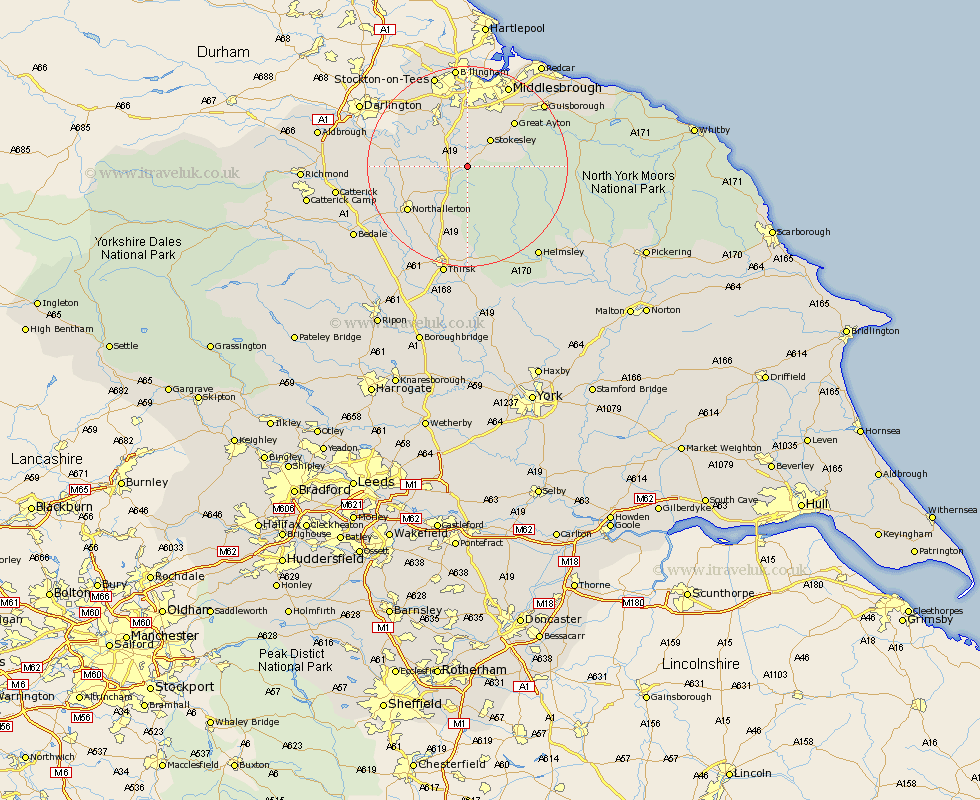
Yorkshire Map Showing Location of Potto
Population: 291
District: Hambleton
Easting: 447583 Northing: 502625
Latitude: 54.42 Longitude: -1.27
 = Potto
District: Hambleton
Easting: 447583 Northing: 502625
Latitude: 54.42 Longitude: -1.27
= Potto
This Potto map below is supplied by Google. Use the tools in the top left corner to zoom into street level or zoom out for a road map, you may also need to zoom in to see Potto on the map. Click and drag the map to move around. If the map fails to load try and refresh your browser or zoom in or out (+ or -).
Update - it seems Google no longer allow people to use their maps for free! This Potto map sometimes loads and sometimes gives a error. I am working on a solution.
Closest 30 Towns or Cities to Potto (Population over 500)
Whorlton 1.08km Middleton 5.56km Middleton upon Leven 5.56km Osmotherley 5.96km Seamer 6.43km Stokesley 7.03km Great Broughton 7.45km Ingleby 10.94km Brompton 12.22km Great Ayton 12.65km Northallerton 14.23km East Cowton 17.25km Cowton 17.25km Middlesborough 18.3km Middlebrough 18.3km Middlesbrough 18.3km South Bank on Tees 18.3km South Bank in Normanby 18.3km South Bank-on-Tees 18.3km South Bank 18.3km Eston 18.32km North Cowton 18.43km Guisborough 19.08km Grangetown 20km Scorton 21.89km Helmsley 22.62km Thirsk 22.66km Skelton-in-Cleveland 23.55km Skelton 23.55km Catterick 24.38km