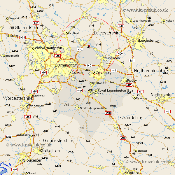
Warwickshire Map Showing Location of Polesworth
Population: 9226
Area Size (ha): 198
District: North Warwickshire
Easting: 427088 Northing: 300360
Latitude: 52.6 Longitude: -1.6
 = Polesworth
Area Size (ha): 198
District: North Warwickshire
Easting: 427088 Northing: 300360
Latitude: 52.6 Longitude: -1.6
= Polesworth
This Polesworth map below is supplied by Google. Use the tools in the top left corner to zoom into street level or zoom out for a road map, you may also need to zoom in to see Polesworth on the map. Click and drag the map to move around. If the map fails to load try and refresh your browser or zoom in or out (+ or -).
Update - it seems Google no longer allow people to use their maps for free! This Polesworth map sometimes loads and sometimes gives a error. I am working on a solution.
Closest 30 Towns or Cities to Polesworth (Population over 500)
Dordon 0.37km Grendon 2.25km Shuttington 3.87km Orton 4.87km Orton-on-the-Hill 4.87km Orton on the Hill 4.87km Atherstone 5.01km Newton Regis 5.67km Newton 5.67km Austrey 6km Hurley 6km Mancetter 6.74km Kingsbury 7.91km Nether Whitacre 8.15km Middleton 9.2km Arley 11.18km Shustoke 11.35km Nuneaton 12.92km Coleshill 13.01km Water Orton 14.31km Fillongley 14.87km Sutton Coldfield 15.1km Castle Bromwich 16.65km Corley 17.02km Bedworth 17.35km Bickenhill 18.45km Meriden 18.57km Keresley 19.08km Bulkington 19.33km Wolvey 20.43km