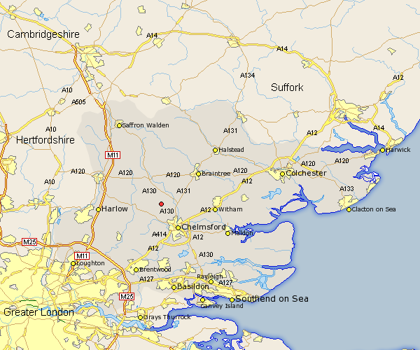
Essex Map Showing Location of Pleshey
Population: 295
District: Chelmsford
Easting: 566616 Northing: 214073
Latitude: 51.8 Longitude: 0.42
 = Pleshey
District: Chelmsford
Easting: 566616 Northing: 214073
Latitude: 51.8 Longitude: 0.42
= Pleshey
This Pleshey map below is supplied by Google. Use the tools in the top left corner to zoom into street level or zoom out for a road map, you may also need to zoom in to see Pleshey on the map. Click and drag the map to move around. If the map fails to load try and refresh your browser or zoom in or out (+ or -).
Update - it seems Google no longer allow people to use their maps for free! This Pleshey map sometimes loads and sometimes gives a error. I am working on a solution.
Closest 30 Towns or Cities to Pleshey (Population over 500)
Great Waltham 2.95km Little Waltham 4.58km High Easter 4.58km Broomfield 5.05km Barnston 5.68km Felsted 5.68km Roxwell 6.01km Great Leighs 7.12km Chelmsford 8.72km Terling 9.17km Stebbing 9.26km Writtle 9.33km Dunmow 9.88km Great Dunmow 9.88km Boreham 9.89km Black Notley 10.72km Panfield 11.53km Galleywood 11.64km Hatfield Broad Oak 12.04km Great Easton 12.51km Great Baddow 12.51km Takeley 12.7km Little Baddow 12.71km Fyfield 12.71km Hatfield Peverel 12.74km Margaretting 12.98km Rayne 13.64km Hatfield Heath 13.75km Cressing 13.77km Braintree 13.86km