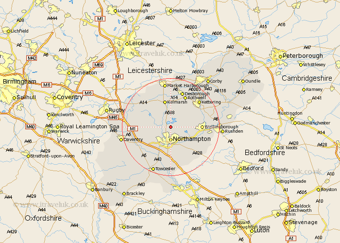
Northamptonshire Map Showing Location of Pitsford
Population: 636
District: Daventry
Easting: 476137 Northing: 267505
Latitude: 52.3 Longitude: -0.88
 = Pitsford
District: Daventry
Easting: 476137 Northing: 267505
Latitude: 52.3 Longitude: -0.88
= Pitsford
This Pitsford map below is supplied by Google. Use the tools in the top left corner to zoom into street level or zoom out for a road map, you may also need to zoom in to see Pitsford on the map. Click and drag the map to move around. If the map fails to load try and refresh your browser or zoom in or out (+ or -).
Update - it seems Google no longer allow people to use their maps for free! This Pitsford map sometimes loads and sometimes gives a error. I am working on a solution.
Closest 30 Towns or Cities to Pitsford (Population over 500)
Brixworth 2.18km Boughton 2.18km Moulton 2.93km Spratton 4.9km Overstone 4.9km Northampton 5.56km Walgrave 5.85km Sywell 7.05km Billing 7.17km Great Billing 7.17km Guilsborough 8.75km East Haddon 9.07km Houghton 9.87km Great Houghton 9.87km Harpole 10.07km Earls Barton 10.64km Broughton 10.86km Kislingbury 10.86km Hardingstone 11.12km Naseby 11.49km Whiston 11.72km Wilby 11.93km Long Buckby 12.47km Wellingborough 12.47km Wootton 12.98km West Haddon 13km Great Doddington 13.01km Doddington 13.01km Collingtree 13.03km Milton 13.17km