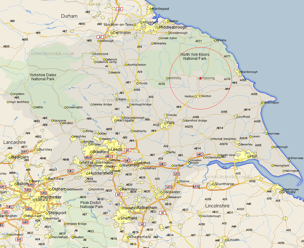
Yorkshire Map Showing Location of Pickering
Population: 5897
Area Size (ha): 180
District: Ryedale
Easting: 480349 Northing: 484532
Latitude: 54.25 Longitude: -0.77
 = Pickering
Area Size (ha): 180
District: Ryedale
Easting: 480349 Northing: 484532
Latitude: 54.25 Longitude: -0.77
= Pickering
This Pickering map below is supplied by Google. Use the tools in the top left corner to zoom into street level or zoom out for a road map, you may also need to zoom in to see Pickering on the map. Click and drag the map to move around. If the map fails to load try and refresh your browser or zoom in or out (+ or -).
Update - it seems Google no longer allow people to use their maps for free! This Pickering map sometimes loads and sometimes gives a error. I am working on a solution.
Closest 30 Towns or Cities to Pickering (Population over 500)
Thornton-le-Dale 3.74km Thornton Dale 3.74km Kirkby Moorside 10.98km Kirby Moorside 10.98km Yedingham 11.22km Rillington 11.93km Snainton 12.48km Norton 12.6km Malton 13.28km Nawton 14.2km Brompton 14.56km Slingsby 14.79km Sherburn 18.71km Helmsley 19.49km Terrington 19.72km Seamer 21.74km Willerby 21.88km Scalby 21.96km Burniston 22.87km Sleights 23.16km Scarborough 23.26km Ampleforth 23.42km Cloughton 23.53km Eastfield 23.9km Fylingdales 23.93km Sheriff Hutton 23.96km Hawsker 25.74km Cayton 26.06km Great Driffield 27.37km Whitby 27.76km