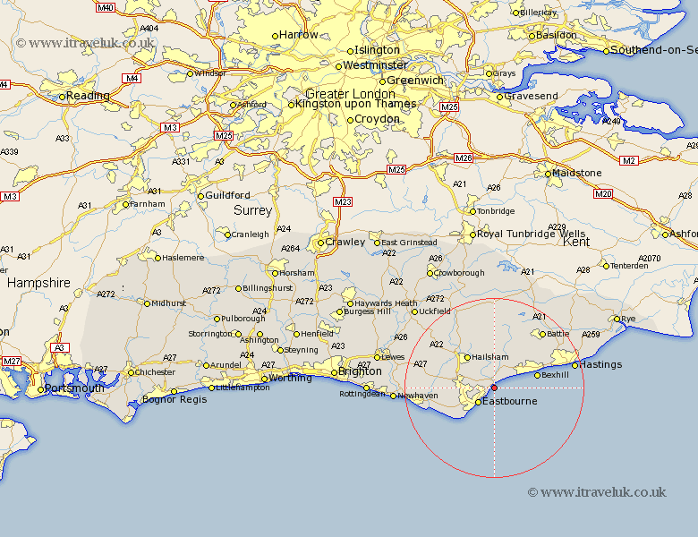
Sussex Map Showing Location of Pevensey
Population: 2997
District: Wealden
Easting: 565581 Northing: 102743
Latitude: 50.8 Longitude: 0.35
 = Pevensey
District: Wealden
Easting: 565581 Northing: 102743
Latitude: 50.8 Longitude: 0.35
= Pevensey
This Pevensey map below is supplied by Google. Use the tools in the top left corner to zoom into street level or zoom out for a road map, you may also need to zoom in to see Pevensey on the map. Click and drag the map to move around. If the map fails to load try and refresh your browser or zoom in or out (+ or -).
Update - it seems Google no longer allow people to use their maps for free! This Pevensey map sometimes loads and sometimes gives a error. I am working on a solution.
Closest 30 Towns or Cities to Pevensey (Population over 500)
Pevensey Bay 1.17km Eastbourne 4.85km Polegate 8.2km Ninfield 8.77km Hurstmonceux 9.34km Herstmonceux 9.34km Hurstmonceaux 9.34km Hailsham 9.45km Jevington 9.55km Bexhill 9.87km Hellingly 10.21km Catsfield 11.62km Friston 11.92km Crowhurst 12.88km Alfriston 14.06km Horam 14.75km Horeham 14.75km Chalvington 15.11km Warbleton 15.54km Chiddingly 16.14km Battle 16.71km Mountfield 16.93km Heathfield 17.67km Laughton 17.81km Seaford 17.96km Sedlescombe 18.27km East Hoathly 18.28km Hastings 18.42km Westfield 18.84km Brede 21.82km