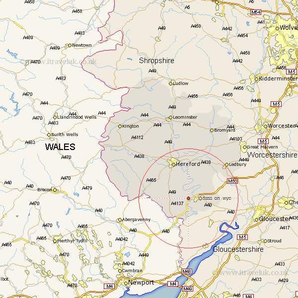
Herefordshire Map Showing Location of Peterstow
Population: 361
Easting: 356445 Northing: 224479
Latitude: 51.92 Longitude: -2.63
 = Peterstow
Easting: 356445 Northing: 224479
Latitude: 51.92 Longitude: -2.63
= Peterstow
This Peterstow map below is supplied by Google. Use the tools in the top left corner to zoom into street level or zoom out for a road map, you may also need to zoom in to see Peterstow on the map. Click and drag the map to move around. If the map fails to load try and refresh your browser or zoom in or out (+ or -).
Update - it seems Google no longer allow people to use their maps for free! This Peterstow map sometimes loads and sometimes gives a error. I am working on a solution.
Closest 30 Towns or Cities to Peterstow (Population over 500)
Walford 4.36km Ross 4.57km Ross-on-wye 4.57km Ross on Wye 4.57km Goodrich 5.68km Weston 6.86km Weston under Penyard 6.86km Weston-under-Penyard 6.86km Whitchurch 7.5km Much Birch 7.97km Upton Bishop 8.81km Broad Oak 8.82km Lea 9.33km Fownhope 9.54km Much Dewchurch 10.9km Much Marcle 13.01km Bullingham 14.17km Mordiford 14.82km Allensmore 15.14km Hereford 15.88km Lugwardine 16.72km Ewyas Harold 17.54km Kingstone 17.65km Madley 19.71km Withington 20.38km Sutton 20.67km Ledbury 20.97km Moreton-on-Lugg 21.5km Moreton on Lugg 21.5km Moreton 21.5km