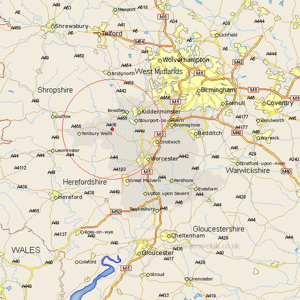
Worcestershire Map Showing Location of Pensax
Population: 317
District: Malvern Hills
Easting: 372736 Northing: 268851
Latitude: 52.32 Longitude: -2.4
 = Pensax
District: Malvern Hills
Easting: 372736 Northing: 268851
Latitude: 52.32 Longitude: -2.4
= Pensax
This Pensax map below is supplied by Google. Use the tools in the top left corner to zoom into street level or zoom out for a road map, you may also need to zoom in to see Pensax on the map. Click and drag the map to move around. If the map fails to load try and refresh your browser or zoom in or out (+ or -).
Update - it seems Google no longer allow people to use their maps for free! This Pensax map sometimes loads and sometimes gives a error. I am working on a solution.
Closest 30 Towns or Cities to Pensax (Population over 500)
Rock 1.85km Abberley 2.93km Lindridge 4.53km Great Witley 5.04km Astley 5.96km Clifton 7.5km Clifton upon Teme 7.5km Bewdley 9.32km Martley 9.55km Stourport on Severn 9.79km Stourport 9.79km Stourport-on-Severn 9.79km Hartlebury 11.48km Kidderminster 12.59km Tenbury 12.6km Tenbury Wells 12.6km Holt 12.61km Ombersley 12.63km Upper Arley 13.4km Arley 13.4km Grimley 13.79km Stone 14.68km Hallow 15.1km Leigh 15.88km Chaddesley Corbett 16.28km Fernhill Heath 16.47km Suckley 16.72km Droitwich 17.89km Churchill 18.44km Worcester 18.81km