Essex Map Showing Location of Peldon
Population: 501
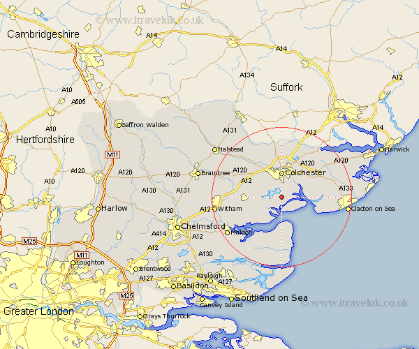
District: Colchester
Easting: 599859 Northing: 217145
Latitude: 51.82 Longitude: 0.9
 = Peldon
District: Colchester
Easting: 599859 Northing: 217145
Latitude: 51.82 Longitude: 0.9
= Peldon
This Peldon map below is supplied by Google. Use the tools in the top left corner to zoom into street level or zoom out for a road map, you may also need to zoom in to see Peldon on the map. Click and drag the map to move around. If the map fails to load try and refresh your browser or zoom in or out (+ or -).
Update - it seems Google no longer allow people to use their maps for free! This Peldon map sometimes loads and sometimes gives a error. I am working on a solution.
Closest 30 Towns or Cities to Peldon (Population over 500)
Peldon 0km Fingringhoe 2.94km Layer de la Haye 3.9km Rowhedge 5.05km West Mersea 5.56km Winehoe 5.89km Wivenhoe 5.89km Wyvenhoe 5.89km Birch 6.02km Alresford 6.82km Colchester 7.41km Copford 7.81km Tollesbury 8.72km Tolleshunt Knights 8.84km Tolleshunt D'Arcy 8.85km Brightlingsea 9.35km Marks Tey 9.75km Thorrington 9.88km Tiptree 11.61km Great Bromley 11.78km Tolleshunt Major 11.8km West Bergholt 12.02km Great Bentley 12.04km Ardleigh 12.51km St Osyth 12.74km St. Osyth 12.74km Saint Osyth 12.74km Fordham 13.07km Feering 13.13km Horkesley 13.17km