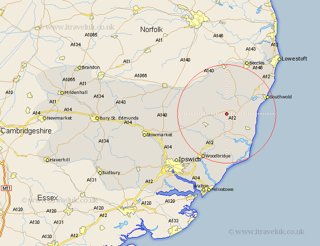
Suffolk Map Showing Location of Peasenhall
Population: 496
District: Suffolk Coastal
Easting: 635376 Northing: 268822
Latitude: 52.27 Longitude: 1.45
 = Peasenhall
District: Suffolk Coastal
Easting: 635376 Northing: 268822
Latitude: 52.27 Longitude: 1.45
= Peasenhall
This Peasenhall map below is supplied by Google. Use the tools in the top left corner to zoom into street level or zoom out for a road map, you may also need to zoom in to see Peasenhall on the map. Click and drag the map to move around. If the map fails to load try and refresh your browser or zoom in or out (+ or -).
Update - it seems Google no longer allow people to use their maps for free! This Peasenhall map sometimes loads and sometimes gives a error. I am working on a solution.
Closest 30 Towns or Cities to Peasenhall (Population over 500)
Yoxford 4.54km Cookley 5.56km Saxmundham 6.52km Laxfield 6.77km Holton 8.69km Wenhaston 8.78km Framlingham 9.7km Halesworth 9.87km Snape 9.88km Dennington 10.21km Leiston 10.87km Worlingworth 13.61km Stradbroke 13.65km Fressingfield 13.78km Wickham Market 14.16km Wangford 14.64km Tunstall 14.83km Thorpeness 15.89km Thorpe 15.89km Aldeburgh 16.52km Rendlesham 16.83km Reydon 17.4km Southwold 17.51km Ufford 18.02km Debenham 18.99km Hoxne 19.36km Otley 19.66km Bungay 20.38km Wrentham 20.48km Melton 20.65km