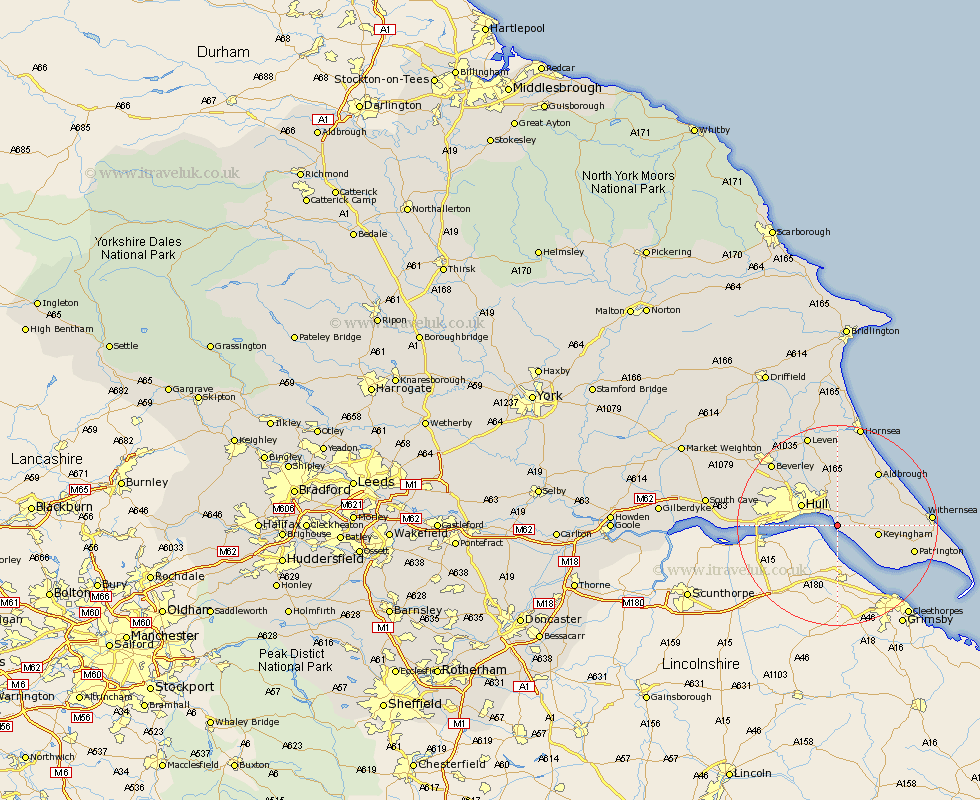
Yorkshire Map Showing Location of Paull
Population: 765
Easting: 516572 Northing: 425950
Latitude: 53.72 Longitude: -0.23
 = Paull
Easting: 516572 Northing: 425950
Latitude: 53.72 Longitude: -0.23
= Paull
This Paull map below is supplied by Google. Use the tools in the top left corner to zoom into street level or zoom out for a road map, you may also need to zoom in to see Paull on the map. Click and drag the map to move around. If the map fails to load try and refresh your browser or zoom in or out (+ or -).
Update - it seems Google no longer allow people to use their maps for free! This Paull map sometimes loads and sometimes gives a error. I am working on a solution.
Closest 30 Towns or Cities to Paull (Population over 500)
Paull 0km Hedon 3.77km Thorngumbald 4.39km Thorngumbold 4.39km Preston 5.98km Kingston upon Hull 6.58km Burstwick 6.83km Keyingham 7.9km Hull 7.94km Sproatley 8.1km Sutton 9.21km Sutton-on-Hull 9.21km Sutton on Hull 9.21km Ottringham 10.04km Burton Pidsea 10.38km Skirlaugh Station 11.17km Wawne 12.03km Cottingham 12.33km Roos 12.61km Hessle 13.16km Anlaby 13.29km Aldbrough 13.51km Barton upon Humber 13.68km Barton 13.68km Kirk Ella 14.73km Woodmansey 14.86km Willerby 15.3km Patrington 15.31km Walkington 16.4km Swanland 16.55km