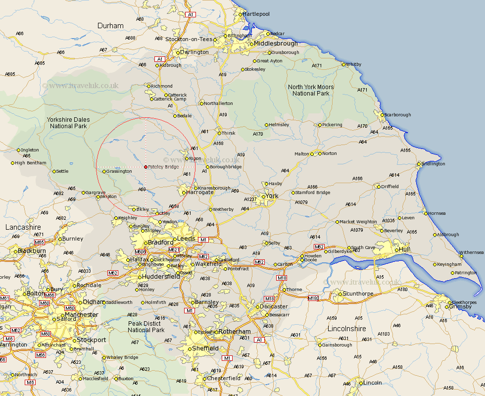
Yorkshire Map Showing Location of Pateley Bridge
District: Harrogate
Easting: 416353 Northing: 465313
Latitude: 54.08 Longitude: -1.75
 = Pateley Bridge
Easting: 416353 Northing: 465313
Latitude: 54.08 Longitude: -1.75
= Pateley Bridge
This Pateley Bridge map below is supplied by Google. Use the tools in the top left corner to zoom into street level or zoom out for a road map, you may also need to zoom in to see Pateley Bridge on the map. Click and drag the map to move around. If the map fails to load try and refresh your browser or zoom in or out (+ or -).
Update - it seems Google no longer allow people to use their maps for free! This Pateley Bridge map sometimes loads and sometimes gives a error. I am working on a solution.
Closest 30 Towns or Cities to Pateley Bridge (Population over 500)
Bewerley 1.09km Dacre 4.29km Darley 6.45km Birstwith 10.32km Kirkby Malzeard 11.33km Hampsthwaite 12.28km Grewelthorpe 12.89km Killinghall 15.01km Grassington 15.34km Ripon 15.66km Masham 16.2km Monkton 16.31km Bishop Monkton 16.31km Burton Leonard 16.41km West Tanfield 17.63km Tanfield 17.63km Threshfield 17.79km Harrogate 18km Burley 18.52km Burley in Wharfedale 18.52km Addingham 18.82km Ilkley 19.03km Embsay 20.01km Bradley 20.47km Pannal 20.49km Knaresborough 20.69km Otley 20.84km Skipton 21.71km Weeton 22.06km Pool-in-Wharfedale 22.17km