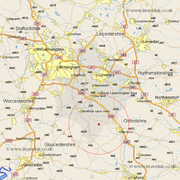
Warwickshire Map Showing Location of Oxhill
Population: 322
District: Stratford-on-Avon
Easting: 431962 Northing: 244777
Latitude: 52.1 Longitude: -1.53
 = Oxhill
District: Stratford-on-Avon
Easting: 431962 Northing: 244777
Latitude: 52.1 Longitude: -1.53
= Oxhill
This Oxhill map below is supplied by Google. Use the tools in the top left corner to zoom into street level or zoom out for a road map, you may also need to zoom in to see Oxhill on the map. Click and drag the map to move around. If the map fails to load try and refresh your browser or zoom in or out (+ or -).
Update - it seems Google no longer allow people to use their maps for free! This Oxhill map sometimes loads and sometimes gives a error. I am working on a solution.
Closest 30 Towns or Cities to Oxhill (Population over 500)
Church Tysoe 2.94km Middle Tysoe 2.94km Tysoe 2.94km Ettington 5.87km Eatington 5.87km Kineton 6.01km Brailes 7.42km Lower Brailes 7.42km Shipston-on-Stour 7.96km Shipston on Stour 7.96km Lighthorne 9.54km Wellesbourne Hastings 9.87km Wellesbourne 9.87km Ilmington 10.41km Fenny Compton 11.65km Bishops Itchington 13.05km Long Compton 13.42km Quinton 13.78km Stratford-upon-Avon 14.67km Stratford on Avon 14.67km Stratford-on-Avon 14.67km Stratford 14.67km Stratford upon Avon 14.67km Bishops Tachbrook 14.82km Barford 15.5km Harbury 15.87km Whitnash 16.72km Southam 19.57km Snitterfield 20.14km Bearley 20.14km