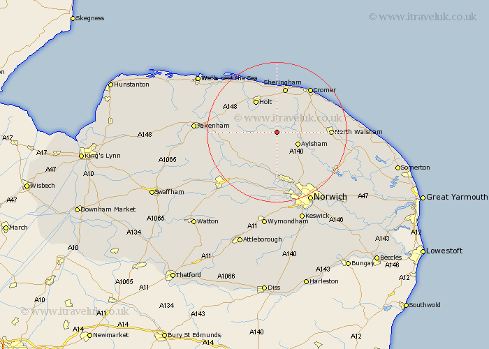
Norfolk Map Showing Location of Oulton
Population: 196
District: Broadland
Easting: 613365 Northing: 329087
Latitude: 52.82 Longitude: 1.17
 = Oulton
District: Broadland
Easting: 613365 Northing: 329087
Latitude: 52.82 Longitude: 1.17
= Oulton
This Oulton map below is supplied by Google. Use the tools in the top left corner to zoom into street level or zoom out for a road map, you may also need to zoom in to see Oulton on the map. Click and drag the map to move around. If the map fails to load try and refresh your browser or zoom in or out (+ or -).
Update - it seems Google no longer allow people to use their maps for free! This Oulton map sometimes loads and sometimes gives a error. I am working on a solution.
Closest 30 Towns or Cities to Oulton (Population over 500)
Corpusty 2.24km Cawston 5.56km Erpingham 5.9km Aylsham 6.72km Briston 7.67km Marsham 7.89km Reepham 8.14km Melton Constable 9.69km Mellon Constable 9.69km Witchingham 9.86km Hevingham 10.01km Hindolveston 10.08km Foulham 10.75km Foulsham 10.75km Holt 10.82km Felmingham 11.35km Roughton 11.62km Bawdeswell 12.9km Lyng 13km Weybourne 13.01km Sheringham 13.16km Lamas Little Hautbois 13.44km Lammas 13.44km Little Hautbois 13.44km West Runton 14.12km Runton 14.12km Hainford 14.29km Haynford 14.29km Northrepps 14.53km North Walsham 14.56km