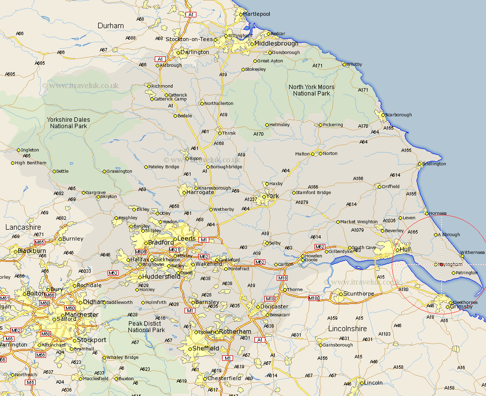
Yorkshire Map Showing Location of Ottringham
Population: 637
Easting: 526518 Northing: 424349
Latitude: 53.7 Longitude: -0.08
 = Ottringham
Easting: 526518 Northing: 424349
Latitude: 53.7 Longitude: -0.08
= Ottringham
This Ottringham map below is supplied by Google. Use the tools in the top left corner to zoom into street level or zoom out for a road map, you may also need to zoom in to see Ottringham on the map. Click and drag the map to move around. If the map fails to load try and refresh your browser or zoom in or out (+ or -).
Update - it seems Google no longer allow people to use their maps for free! This Ottringham map sometimes loads and sometimes gives a error. I am working on a solution.
Closest 30 Towns or Cities to Ottringham (Population over 500)
Keyingham 2.19km Burstwick 4.95km Patrington 5.74km Thorngumbold 5.79km Thorngumbald 5.79km Roos 5.98km Burton Pidsea 7.5km Hedon 7.55km Withernsea 8.52km Paull 10.04km Preston 10.67km Sproatley 11.36km Aldbrough 13.16km Walkington 13.16km Easington 13.68km Kingston upon Hull 16.56km Skirlaugh Station 16.98km Hull 17.61km Sutton-on-Hull 17.92km Sutton on Hull 17.92km Sutton 17.92km Wawne 20.76km Cottingham 21.79km Hornsea 22.9km Hessle 23.11km Barton upon Humber 23.12km Barton 23.12km Anlaby 23.33km Woodmansey 23.6km Kirk Ella 24.76km