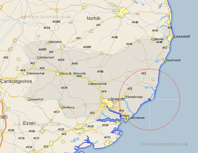
Suffolk Map Showing Location of Orford
Population: 658
District: Suffolk Coastal
Easting: 642053 Northing: 248709
Latitude: 52.08 Longitude: 1.53
 = Orford
District: Suffolk Coastal
Easting: 642053 Northing: 248709
Latitude: 52.08 Longitude: 1.53
= Orford
This Orford map below is supplied by Google. Use the tools in the top left corner to zoom into street level or zoom out for a road map, you may also need to zoom in to see Orford on the map. Click and drag the map to move around. If the map fails to load try and refresh your browser or zoom in or out (+ or -).
Update - it seems Google no longer allow people to use their maps for free! This Orford map sometimes loads and sometimes gives a error. I am working on a solution.
Closest 30 Towns or Cities to Orford (Population over 500)
Hollesley 7.77km Tunstall 7.96km Aldeburgh 8.7km Rendlesham 8.79km Thorpeness 10.88km Thorpe 10.88km Snape 11.35km Sutton 12.66km Ufford 13.06km Leiston 13.17km Wickham Market 13.58km Woodbridge 14.92km Melton 14.92km Saxmundham 15.01km Martlesham 15.94km Martlesham Heath 17.19km Kirton 17.47km Kirkton 17.47km Felixstowe 18.04km Grundisburgh 19.44km Walton 19.52km Bucklesham 20.15km Framlingham 20.15km Yoxford 20.42km Otley 21.79km Nacton 21.81km Shotley 23.32km Witnesham 23.98km Wirnesham 23.98km Chelmondiston 24.35km