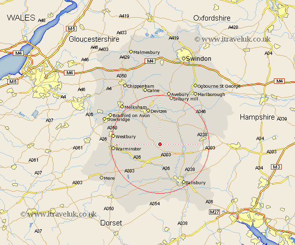
Wiltshire Map Showing Location of Orcheston
Population: 358
District: Salisbury
Easting: 405819 Northing: 146449
Latitude: 51.22 Longitude: -1.92
 = Orcheston
District: Salisbury
Easting: 405819 Northing: 146449
Latitude: 51.22 Longitude: -1.92
= Orcheston
This Orcheston map below is supplied by Google. Use the tools in the top left corner to zoom into street level or zoom out for a road map, you may also need to zoom in to see Orcheston on the map. Click and drag the map to move around. If the map fails to load try and refresh your browser or zoom in or out (+ or -).
Update - it seems Google no longer allow people to use their maps for free! This Orcheston map sometimes loads and sometimes gives a error. I am working on a solution.
Closest 30 Towns or Cities to Orcheston (Population over 500)
Shrewton 3.89km West Lavington 6.88km Lark Hill 7.89km Market Lavington 8.74km Lavington 8.74km Enford 8.93km Figheldean 9.29km Urchfont 9.34km Longford 9.35km Steeple Langford 9.35km Netheravon 9.47km Upavon 10.17km Bulford 10.61km Amesbury 10.83km Durrington 11.09km Codford 11.89km Erlestoke 12.8km Potterne 13.12km South Newton 13.44km Edington 13.92km Heytesbury 14.42km Bratton 14.99km Wilton 15.24km Worton 15.25km Devizes 15.53km Dinton 15.55km Idmiston 16.75km Bishops Cannings 16.84km Rowde 16.9km Roundway 17.31km