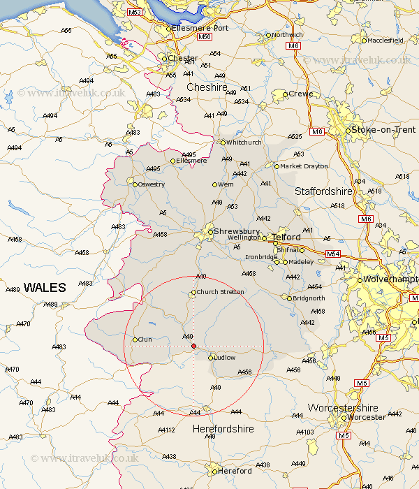
Shropshire Map Showing Location of Onibury
Population: 300
District: South Shropshire
Easting: 345576 Northing: 278341
Latitude: 52.4 Longitude: -2.8
 = Onibury
District: South Shropshire
Easting: 345576 Northing: 278341
Latitude: 52.4 Longitude: -2.8
= Onibury
This Onibury map below is supplied by Google. Use the tools in the top left corner to zoom into street level or zoom out for a road map, you may also need to zoom in to see Onibury on the map. Click and drag the map to move around. If the map fails to load try and refresh your browser or zoom in or out (+ or -).
Update - it seems Google no longer allow people to use their maps for free! This Onibury map sometimes loads and sometimes gives a error. I am working on a solution.
Closest 30 Towns or Cities to Onibury (Population over 500)
Craven Arms 4.34km Ludlow 5.85km Wistanstow 8.15km Diddlebury 9.32km Bitterley 10.18km Caynham 10.62km Bucknell 10.83km North Lydbury 12.59km Lydbury North 12.59km Rushbury 14.15km Clun 15.94km Church Stretton 16.68km Ditton Priors 19.33km Cleobury Mortimer 21.57km Shelve 23.86km Kinlet 26.07km Minsterley 27.47km Much Wenlock 27.95km Chirburg 27.99km Chirbury 27.99km Condover 28km Pontesbury 28.37km Berrington 28.61km Cressage 28.76km Highley 28.79km Baystonhill 29.85km Bridgnorth 29.9km Alveley 31.02km Hanwood 31.52km Great Hanwood 31.52km