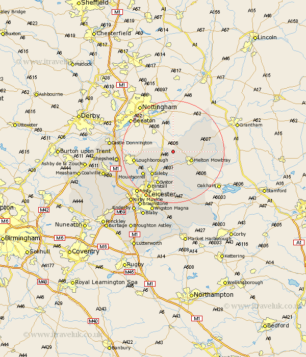
Leicestershire Map Showing Location of Old Dalby
District: Melton
Easting: 468536 Northing: 323014
Latitude: 52.8 Longitude: -0.98
 = Old Dalby
Easting: 468536 Northing: 323014
Latitude: 52.8 Longitude: -0.98
= Old Dalby
This Old Dalby map below is supplied by Google. Use the tools in the top left corner to zoom into street level or zoom out for a road map, you may also need to zoom in to see Old Dalby on the map. Click and drag the map to move around. If the map fails to load try and refresh your browser or zoom in or out (+ or -).
Update - it seems Google no longer allow people to use their maps for free! This Old Dalby map sometimes loads and sometimes gives a error. I am working on a solution.
Closest 30 Towns or Cities to Old Dalby (Population over 500)
Ab Kettleby 4.85km Abkettley 4.85km Hose 6.71km Frisby-on-the-Wreak 7.5km Frisby 7.5km Frisby on the Wreak 7.5km Hoby 7.5km Melton Mowbray 7.68km Scalford 7.84km Wymeswold 8.06km Wimeswould 8.06km Burton-on-the-Wolds 9.7km Burton on the Wolds 9.7km Burton 9.7km Rearsby 9.85km Stathern 10.54km Gaddesby 11.18km Eaton 11.8km Sileby 12.14km Waltham 12.32km Waltham-on-the-Wolds 12.32km Waltham on the Wolds 12.32km Queniboro 13.41km Queniborough 13.41km Barrow upon Soar 13.44km Barrow 13.44km Syston 14.14km Quorndon 14.39km Mountsorrel 14.55km Rothley 15.02km