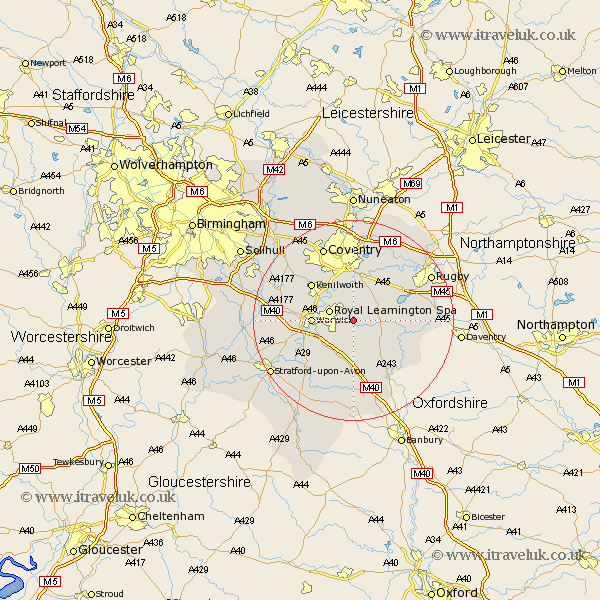
Warwickshire Map Showing Location of Offchurch
Population: 262
District: Warwick
Easting: 436378 Northing: 265195
Latitude: 52.28 Longitude: -1.47
 = Offchurch
District: Warwick
Easting: 436378 Northing: 265195
Latitude: 52.28 Longitude: -1.47
= Offchurch
This Offchurch map below is supplied by Google. Use the tools in the top left corner to zoom into street level or zoom out for a road map, you may also need to zoom in to see Offchurch on the map. Click and drag the map to move around. If the map fails to load try and refresh your browser or zoom in or out (+ or -).
Update - it seems Google no longer allow people to use their maps for free! This Offchurch map sometimes loads and sometimes gives a error. I am working on a solution.
Closest 30 Towns or Cities to Offchurch (Population over 500)
Leamington 4.9km Royal Leamington Spa 4.9km Leamington Spa 4.9km Whitnash 5.03km Bubbenhall 5.56km Harbury 5.68km Long Itchington 5.96km Southam 6.77km Bishops Tachbrook 7.18km Warwick 7.94km Stockton 8.15km Stoneleigh 8.16km Baginton 9.34km Bishops Itchington 9.54km Brandon 10.32km Barford 10.64km Kenilworth 10.86km Wolston 10.87km Lighthorne 11.35km Napton 11.62km Napton on the Hill 11.62km Napton-on-the-Hill 11.62km Hatton 12.61km Dunchurch 13.65km Wellesbourne Hastings 13.67km Wellesbourne 13.67km Shrewley 13.73km Long Lawford 14.64km Kineton 15km Brinklow 15.21km