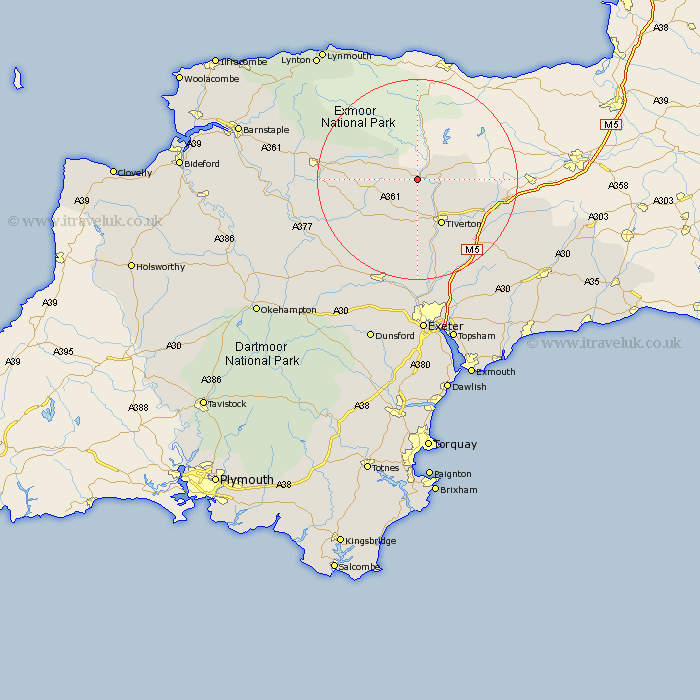
Devon Map Showing Location of Oakford
Population: 340
District: Mid Devon
Easting: 291211 Northing: 121636
Latitude: 50.98 Longitude: -3.55
 = Oakford
District: Mid Devon
Easting: 291211 Northing: 121636
Latitude: 50.98 Longitude: -3.55
= Oakford
This Oakford map below is supplied by Google. Use the tools in the top left corner to zoom into street level or zoom out for a road map, you may also need to zoom in to see Oakford on the map. Click and drag the map to move around. If the map fails to load try and refresh your browser or zoom in or out (+ or -).
Update - it seems Google no longer allow people to use their maps for free! This Oakford map sometimes loads and sometimes gives a error. I am working on a solution.
Closest 30 Towns or Cities to Oakford (Population over 500)
Bampton 4.67km Tiverton 10.37km Sampford Peverell 11.89km Halberton 13.15km Witheridge 13.83km Holcombe Rogus 14.12km Cheriton Fitzpaine 15.54km Cullompton 16.7km Burlescombe 16.75km Willand 16.99km Uffculme 17.78km North Molton 19km Silverton 19.11km Bradninch 19.12km South Molton 20.17km Sandford 20.25km Morchard Bishop 20.4km Thorverton 20.42km Kentisbeare 20.87km Lapford 21.8km Chawleigh 21.91km Culmstock 22.28km Plymtree 23.24km Crediton 23.32km Hemyock 23.39km Chulmleigh 23.39km Saint Cyres 24.34km Stoke Canon 24.34km St. Cyres 24.34km Newton St Cyres 24.34km