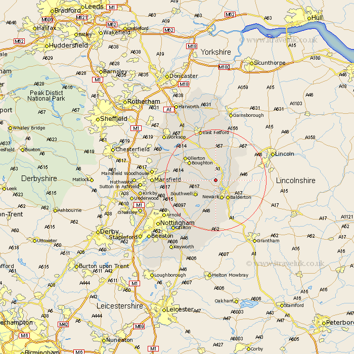
Nottinghamshire Map Showing Location of Norwell
Population: 426
District: Newark and Sherwood
Easting: 476930 Northing: 360221
Latitude: 53.13 Longitude: -0.85
 = Norwell
District: Newark and Sherwood
Easting: 476930 Northing: 360221
Latitude: 53.13 Longitude: -0.85
= Norwell
This Norwell map below is supplied by Google. Use the tools in the top left corner to zoom into street level or zoom out for a road map, you may also need to zoom in to see Norwell on the map. Click and drag the map to move around. If the map fails to load try and refresh your browser or zoom in or out (+ or -).
Update - it seems Google no longer allow people to use their maps for free! This Norwell map sometimes loads and sometimes gives a error. I am working on a solution.
Closest 30 Towns or Cities to Norwell (Population over 500)
North Muskham 2.89km Muskham 2.89km Winthorpe 5.79km North Collingham 6.92km Collingham 6.92km Newark 7.74km Newark upon Trent 7.74km Newark on Trent 7.74km Newark-on-Trent 7.74km Balderton 8.64km Coddington 8.69km Farndon 9.26km Southwell 9.46km Tuxford 9.54km Fiskerton 9.85km Fiskerton Ferry 9.85km Boughton 12.1km Bilsthorpe 12.23km Bleasby 12.43km Farnsfield 12.78km Elston 13.01km East Markham 13.17km Markham 13.17km Walesby 14.23km Ollerton 14.47km Edwinstowe 15.48km Elksley 16.75km Elkesley 16.75km Flintham 17.01km Clipstone 17.08km