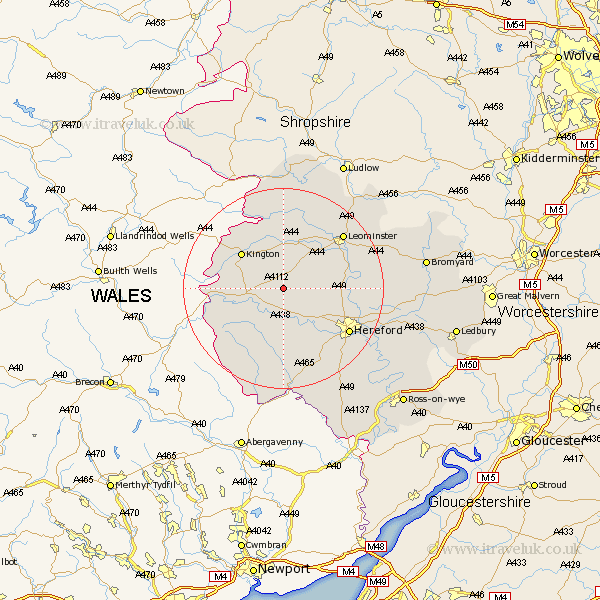
Herefordshire Map Showing Location of Norton Canon
Population: 313
Easting: 338404 Northing: 248760
Latitude: 52.13 Longitude: -2.9
 = Norton Canon
Easting: 338404 Northing: 248760
Latitude: 52.13 Longitude: -2.9
= Norton Canon
This Norton Canon map below is supplied by Google. Use the tools in the top left corner to zoom into street level or zoom out for a road map, you may also need to zoom in to see Norton Canon on the map. Click and drag the map to move around. If the map fails to load try and refresh your browser or zoom in or out (+ or -).
Update - it seems Google no longer allow people to use their maps for free! This Norton Canon map sometimes loads and sometimes gives a error. I am working on a solution.
Closest 30 Towns or Cities to Norton Canon (Population over 500)
Weobley 4.36km Almeley 5.98km Dilwyn 6.01km Eardisley 6.83km Credenhill 7.77km Pembridge 9.27km Lyonshall 9.34km Burghill 9.83km Eardisland 9.88km Wellington 10.24km Kington 10.88km Peterchurch 11.63km Madley 11.63km Moreton 11.97km Moreton on Lugg 11.97km Moreton-on-Lugg 11.97km Shobdon 13.17km Kingstone 13.74km Clifford 14.15km Kingsland 14.66km Bodenham 14.9km Allensmore 15.22km Sutton 15.25km Hereford 15.58km Leominster 15.9km Bullingham 16.75km Luston 18.01km Croft 18.02km Withington 18.58km Lugwardine 18.61km