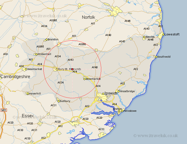
Suffolk Map Showing Location of Norton
Population: 787
District: Mid Suffolk
Easting: 595660 Northing: 265229
Latitude: 52.25 Longitude: 0.87
 = Norton
District: Mid Suffolk
Easting: 595660 Northing: 265229
Latitude: 52.25 Longitude: 0.87
= Norton
This Norton map below is supplied by Google. Use the tools in the top left corner to zoom into street level or zoom out for a road map, you may also need to zoom in to see Norton on the map. Click and drag the map to move around. If the map fails to load try and refresh your browser or zoom in or out (+ or -).
Update - it seems Google no longer allow people to use their maps for free! This Norton map sometimes loads and sometimes gives a error. I am working on a solution.
Closest 30 Towns or Cities to Norton (Population over 500)
Pakenham 2.93km Thurston 3.4km Elmswell 3.88km Woolpit 4.34km Badwell Ash 5.03km Ixworth 6km Great Barton 7.05km Bradfield 7.18km Bradfield St. George 7.18km Bradfield Saint George 7.18km Bradfield St George 7.18km Bardwell 7.5km Rattlesden 7.5km Rushbrooke 7.75km Stanton 7.75km Haughley 8.77km Troston 9.33km Hepworth 9.87km Bury Saint Edmunds 10.21km Bury St. Edmunds 10.21km Bury St Edmunds 10.21km Honington 10.31km Great Finborough 10.32km Finborough 10.32km Bacton 10.38km Old Newton 10.87km Stowmarket 10.87km Barningham 11.35km Fornham All Saints 11.49km Cockfield 12.49km